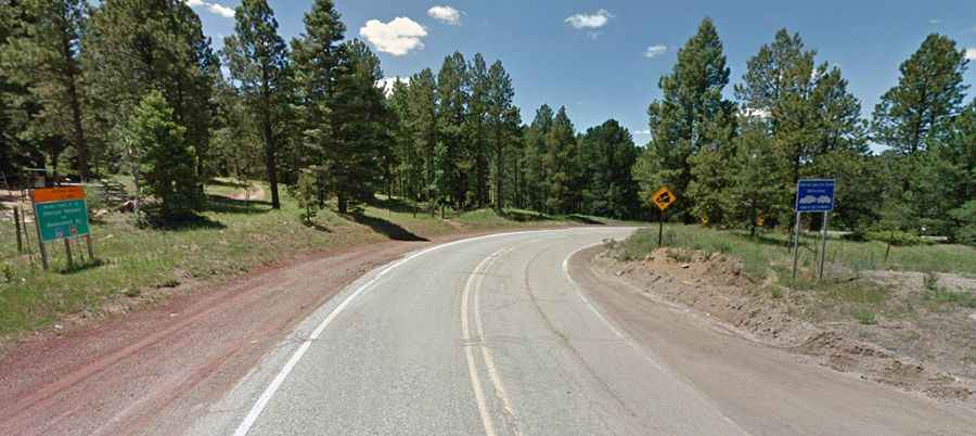
Palo Flechado Pass in New Mexico is a classic road trip
Palo Flechado Pass is a high mountain pass at an elevation of 2.779m (9,117ft) above sea level, located in the US state of New Mexico.

Where is Palo Flechado Pass?
The pass is located on the boundary between Taos and Colfax counties, in northern New Mexico’s high desert.
Is Palo Flechado Pass paved?
Set high in the Sangre de Cristo Mountain, the road to the summit, also known as Taos Pass and Old Taos Pass, is totally paved. It’s called U.S. Route 64.
How long is Palo Flechado Pass?
The pass is 49.56km (30.8 miles) long, running from the villages of Taos (Taos County) to Eagle Nest (in Colfax County).