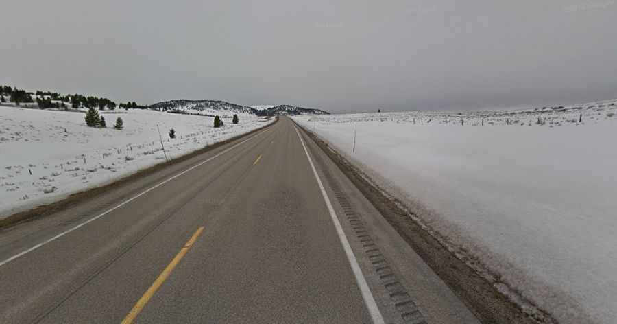
A Paved Road to Raynolds Pass on the Montana-Idaho Border
Raynolds Pass is a high mountain pass at an elevation of 2,086m (6,844ft) above sea level, located on the Montana-Idaho border in the USA.

Where is Raynolds Pass?
Located on the Continental Divide, the pass links Madison County (in the U.S. state of Montana) and Fremont County (in the U.S. state of Idaho). At the summit, there’s a parking lot.
Why is it Called Raynolds Pass?
The pass is named after Captain William F. Raynolds, a 19th-century Army engineer and explorer who led expeditions in the northern Rocky Mountains and the Yellowstone region during the mid-1800s.
How Long is Raynolds Pass?
Nestled in the Rocky Mountains, the road to the summit is fully paved. It’s called ID-87 and MT-87. The pass is the highest point of the road. It’s a very gentle road, with only a slight grade and no major hairpin curves. The pass is 28.32 km (17.6 miles) long, running north-south from the US-287 to US-20 roads.