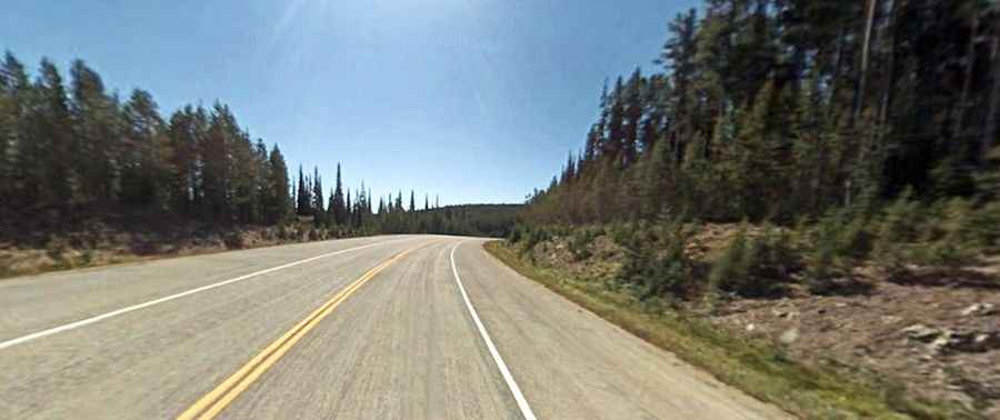
A 5-star road to Chief Joseph Pass in the Rocky Mountains
Chief Joseph Pass is a high mountain pass at an elevation of 2.218m (7,276ft) above sea level, located on the Montana-Idaho border in the northwestern United States.

Where is Chief Joseph Pass?
Set high in the Bitterroot Mountains on the Continental Divide of the Rocky Mountains, and surrounded by the Beaverhead-Deerlodge and Bitterroot National Forests, the pass links Lemhi County (in Idaho) and Beaverhead County (in Montana).
Why is it called Chief Joseph Pass?
This pass earned its name from Chief Joseph, who journeyed through it in 1877 during the Nez Perce War.
Can you drive to Chief Joseph Pass?
The road to the summit is totally paved. It’s called Montana State Highway 43. The pass is 42km (26.1 miles) long, running east-west from Wisdom (in Beaverhead County, Montana) to Lost Trail Pass. The road is steep, hitting an 8.62% gradient on some of the ramps.
Is Chief Joseph Pass open?
Accessible year-round to traffic, the route might experience occasional closures in winter due to inclement weather conditions.
Is Chief Joseph Pass worth it?
The drive itself boasts breathtaking scenery with panoramic vistas, encompassed by charming peaks and embraced by two national forests.