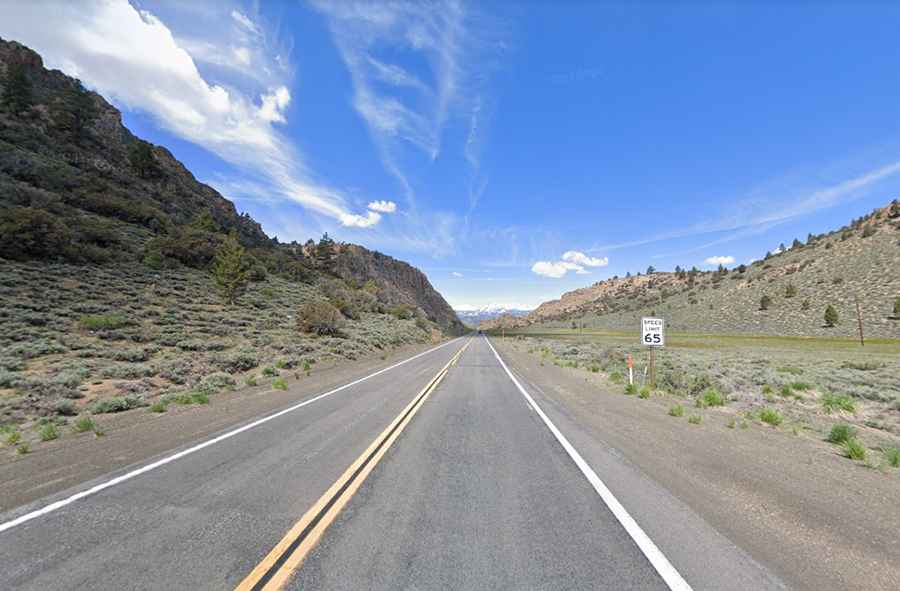
Devil's Gate Pass: A Scenic Road Through California's Mountains
Devil's Gate Pass is a high mountain pass at an elevation of 2.292m (7,519ft) above sea level, located in Mono County, in the U.S. state of California.

Where is the Devil's Gate Pass located?
Set high in the Eastern Sierra’s, the pass is located in the east central portion of California. It separates the East and West Walker Rivers.
Why is it called Devil's Gate Pass?
It is named for the Devils Gate, a granitic formation located to the west of the pass. It got its name because it's believed to be the site of several murders.
Is the Devil's Gate Pass paved?
The road to Devil's Gate Summit is totally paved. It’s called U.S. Route 395.
How long is the Devil's Gate Pass?
The pass is 27.03km (16.8 miles) long, running west-east from Sonora Junction to Bridgeport, the county seat of Mono County. At this elevation, the pass is the highest point of U.S. Route 395.