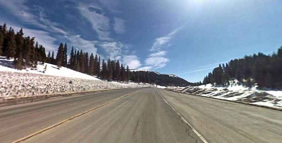
Wolf Creek Pass in Colorado: Beware of the wolf
Wolf Creek Pass is a high mountain pass at an elevation of 3,313m (10,869ft) above sea level, located in Mineral County, in the US state of Colorado. It features a dangerous hairpin curve six-and-a-half miles from the summit.

Where is Wolf Creek Pass Colorado?
The pass is located in Mineral County on the southern part of Colorado and runs across the Rockies in San Juan Mountains.
Why is it called Wolf Creek Pass?
The pass is named for the nearby Wolf Creek. The pass was immortalized in a country music song.
When was the road through Wolf Creek Pass Colorado built?
The first road through the summit was built in 1916.
Is Wolf Creek Pass in Colorado paved?
The legendary road to the summit has been totally paved since 1950. It’s called U.S. Highway 160.
How long is Wolf Creek Pass?
The pass is located on the way from Pagosa Springs (in Archuleta County) to South Fork (in Rio Grande County). The drive is 67km (41.7 miles) long.
What is the grade of Wolf Creek Pass?
The road has some steep sections. The pass is significantly steep on either side. The west side of the pass is at a 7 percent downhill grade. It’s one of the steepest paved mountain passes in Colorado.
How long does it take to get through Wolf Creek Pass?
To drive the road without stopping will take most people between 60 and 75 minutes.
Is Wolf Creek Pass open?
Set high on the Continental Divide, the road is open all year round and often snow-packed and icy in the winter months. The pass is known for its deep, stable snowpack. In most seasons, it has double or triple the snowpack of the northern or central Colorado mountains. It can be very dangerous in winter. Like most mountain passes in Colorado, the winter season also makes this highway a challenge to tow on. In fact, when given the opportunity, most over-the-road truck drivers will avoid the entire state during the cold months. Even summertime sees the occasional snow. Harsh storms can induce vertigo even in veteran plow drivers.
Is Wolf Creek Pass hard to drive?
Most crashes on the pass occur at the switchback curve near the Wolf Creek scenic outlook area. It’s said to be one of the most dangerous roads in Colorado. It features a challenging switchback turn on the west side with a 200-foot drop off on the other side of the curve. If you hit the turn too fast, you will go right off the edge. There are two runaway truck ramps on the westbound side of the pass for truckers who lose control of their brakes. From 2011 to 2015, 49 semi-truck drivers crashed on the west side of the pass, and 3 truck drivers have been killed in crashes on the pass.