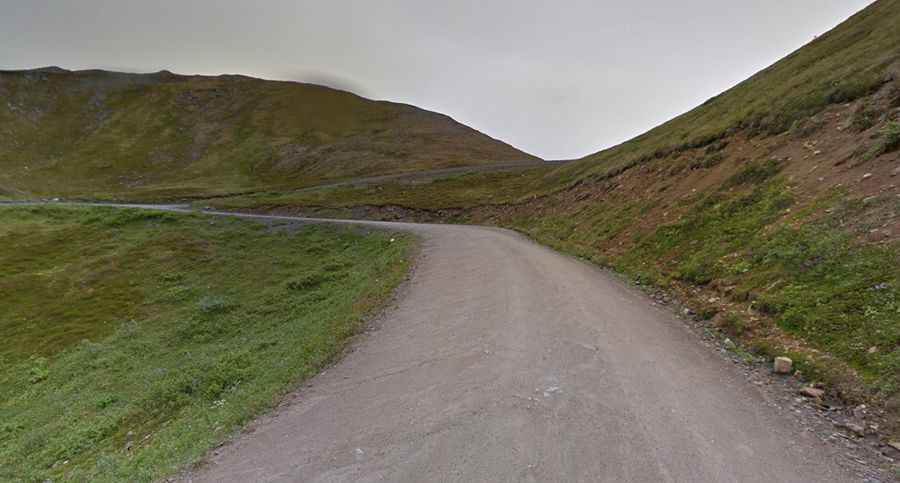
Hatcher Pass is an awe-inspiring road through remote areas of Alaska
Hatcher Pass is a mountain pass at an elevation of 1.148m (3,886ft) above sea level, located in the US state of Alaska. It’s one of the highest roads in Alaska.

Why is it called Hatchers Pass?
The pass is named after Robert Hatcher, a prospector and miner.
How long is Hatchers Pass?
The road to the summit, also known as Hatchers Pass, is called Hatcher Pass Road (aka Fishhook Road). It is 96.56km (60 miles) long, running from Palmer to Willow, winding through the mountains. The original road was utilized by gold miners in the 1930's and 1940's.
Is Hatchers Pass Road paved?
The road is paved from the Palmer side to Independence Mine State Historical Park. It is gravel from Mile 17.5 to Mile 32.5 and can be rough with ruts—especially after big rains.
Is Hatchers Pass challenging?
Located in the Mat-Su Valley, expect switchbacks, occasional potholes, and no guardrail. Use of RV's or large vehicles are not recommended due to the steep grades, rough roads and tight hairpin corners.
Is the Hatcher Pass Alaska road open?
Set high in the southwest part of the Talkeetna Mountains, the pass gets some of the earliest snow in the state. This road is open year-round except for the last mile to Independence Mine in winter months. This central portion of the road is usually closed by snow in winters and opens typically around July 4th weekend.
Is Hatcher Pass remote?
Tucked away in the southern part of Alaska, the drive is pretty remote. For the most part there are no services.