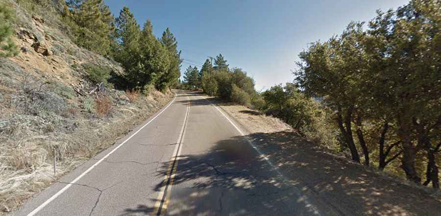
South Grade Road in California features 21 hairpin turns
South Grade Road is a very challenging yet dangerous drive located in San Diego County, in the US state of California. The road features 21 switchbacks.

Where is South Grade Road?
The road is located in northern San Diego County, in the southwestern corner of California. The route was defined in 1959. Tucked away in the Palomar Mountain State Park, the road tops out at 1.666m (5,465ft) above sea level, near the Palomar Observatory and Hale Telescope. The observatory is closed if travel or other conditions are hazardous. Visitors should be aware that the observatory may close to the public due to weather or other unforeseen conditions without advance notice.
How long is South Grade Road in CA?
Set high on top of the Palomar mountain range, the road (part of County Route S6) is totally paved. It’s 18.02km (11.2 miles) long, running south-north from CA-76 to Palomar Divide Road.
Is South Grade Road in CA open?
This road is usually open all year round. Please drive carefully. Winter storms usually mean snow and icy conditions on Palomar generally, in these circumstances, tire chains are required by the Highway Patrol. Watch out for fog, fallen rocks on the road, especially during and immediately after rainfall. Travel on the road may be difficult during and just after rain events. Road closures and rock/mud slides are possible at these times.
Is South Grade Road in California dangerous?
The road is certainly breathtaking. It has over 20 hairpin turns. Every year numerous serious accidents are reported, occasionally fatal ones, and far more accidents probably occur that authorities never know about since the bikers would rather suffer quietly than have their insurance companies know what they’ve been up to.