Rock Creek Road is the highest paved public road of California
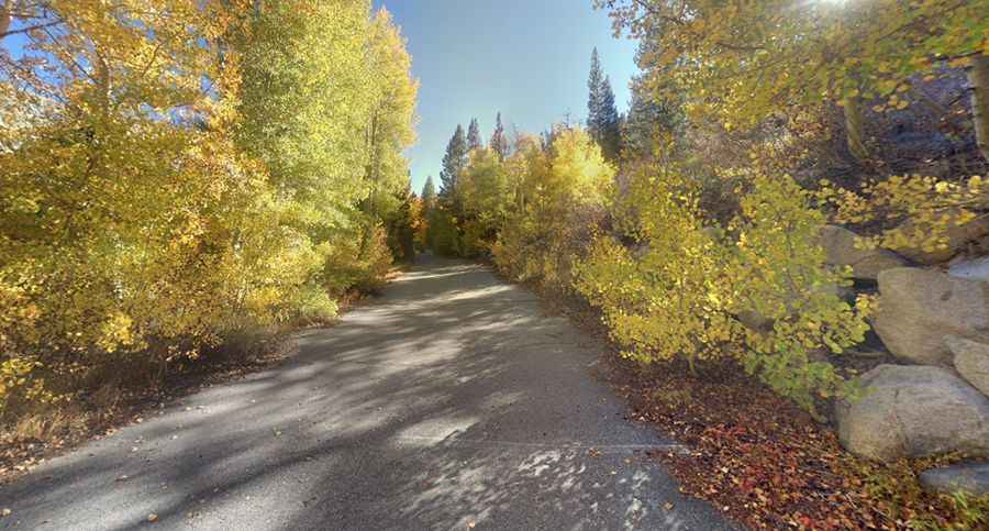
Rock Creek Road is a very scenic drive with dramatic views in the U.S. state of California. It is said to be the highest paved public road in California.
Where is Rock Creek Road?
The road is located on the boundary between Mono and Inyo counties, in the eastern central part of California, within the Inyo National Forest.
Is Rock Creek Road paved?
The road is entirely paved, stretching 16.73km (10.4 miles) from the west side of Highway 395, east of Tom's Place, to Mosquito Flats. It narrows to unmarked narrow two lanes just past Rock Creek Lake.
Is Rock Creek Road steep?
The road features steep inclines, with gradients reaching 10-15% through some sections. Starting at Tom's Place, the elevation gain is 969 meters, with an average gradient of 5.79%.
Is Rock Creek Road open?
Situated high in the Eastern Sierra Nevada Mountains, the road terminates at a parking lot at an elevation of 3,121m (10,239ft) above sea level. Expect high alpine conditions. This road remains snow-covered until late May or early June, and chains or snow tires may be required at any time. Be prepared for various weather conditions, as temperatures during the summer can become stifling.
Is Rock Creek Road worth it?
Driving the road without stopping typically takes between 20 and 25 minutes. The journey offers stunning views of the surrounding Sierra peaks, making it a worthwhile experience.
Pic: James Hatton