Driving the challenging Forest Road 597 to Sawmill Pass in New Mexico
Sawmill Pass is a high mountain pass at an elevation of 3,153m (10,344ft) above sea level, located in Taos County, in the U.S. state of New Mexico. It’s one of the highest roads in New Mexico.
Where is Sawmill Pass?
The pass is located to the north of Sawmill Mountain, in the northern part of New Mexico, not far from the Colorado border, within the Carson National Forest.
Is Sawmill Pass unpaved?
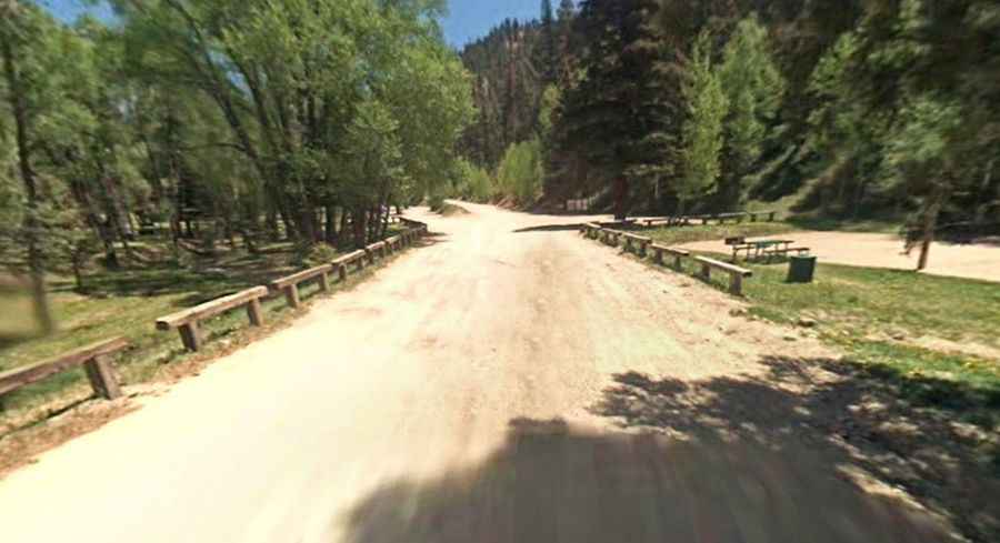
The road through the pass is totally unpaved. It’s also known as Sawmill Road and runs entirely above 2,700m (8,858ft) above sea level.
Is Forest Road 597 to Sawmill Pass open in winter?
Set high in the Sangre de Cristo Mountains, the road is usually closed from late October through late June or early July. Remember to exercise caution when snow conditions are unstable.
How long is Forest Road 597 to Sawmill Pass?
The road through the pass is 14.48 km (9.0 miles) long, running south-north from Red River (a resort town) to Forest Road 134. The drive is steep, hitting an 11% maximum gradient through some of the ramps.