A Memorable Road Trip to Browns Pass in Park County
Browns Pass is a high mountain pass at an elevation of 3,475m (11,400ft) above sea level, located in Park County, in the U.S. state of Colorado.
Where is Browns Pass?
The pass is located south of Sheep Ridge, on the Continental Divide, to the south of Denver, in the central part of Colorado, within the Pike National Forest.
Is the road to Browns Pass unpaved?
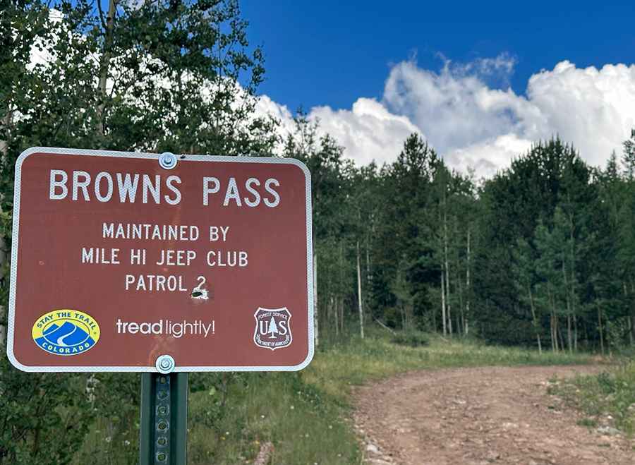
The road to the summit is totally unpaved. It’s called County Road 658, also known as Browns Pass Road. 4x4 vehicles only.
How long is the road to Browns Pass?
The road is 9.0 km (5.5 miles) long, starting from the paved US Highway 285, to the south of Fairplay.
Is the road to Browns Pass open in winter?
Set high in the Sawatch Range, the road is not plowed in winter. The best times to drive it are June through October. Don’t attempt to walk to the divide if the weather is threatening. The trail is totally exposed and not a place to be during a lightning storm.
Pic: William Bauer