Driving the scenic Main Boulder Road in south Montana
Main Boulder Road is a very scenic drive located in the U.S. state of Montana. The route closely follows the Boulder River and provides access to countless campgrounds.
Where is Main Boulder Road?
The road straddles Park and Sweet Grass counties, in the southern part of Montana, near the Wyoming border, within the Custer Gallatin National Forest.
How long is Main Boulder Road?
Main Boulder Road (County Road 212) is 84.16km (52.3 miles) long, running north-south from Big Timber (the county seat of Sweet Grass County) to Independence, near a popular trailhead.
Is Main Boulder Road worth the drive?
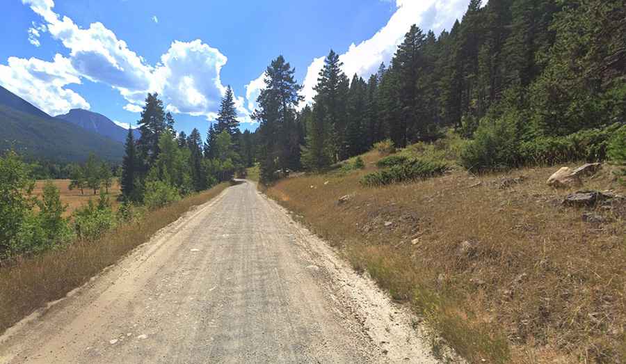
Running along the Boulder River, this trail is great for scenic driving and provides access to countless campgrounds.
Is Main Boulder Road unpaved?
The road is a one-way trip and comprises both paved and unpaved parts. The first twenty or so miles of the drive are fully paved, but the remaining portion is on a gravel surface. There are no turnarounds for long vehicles, so it’s not suitable for longer vehicles. The road features a few bridges and two of them are partially collapsed, so check conditions before.
Is Main Boulder Road open in winter?
Running between the high peaks of the Absaroka Range, the road ends at 2,460m (8,070ft) above sea level near Monument Peak. Access is limited during the fall and winter due to snow, as the National Forest portion of the drive is not maintained for winter travel.