Driving the Scenic California State Route 127 in Death Valley
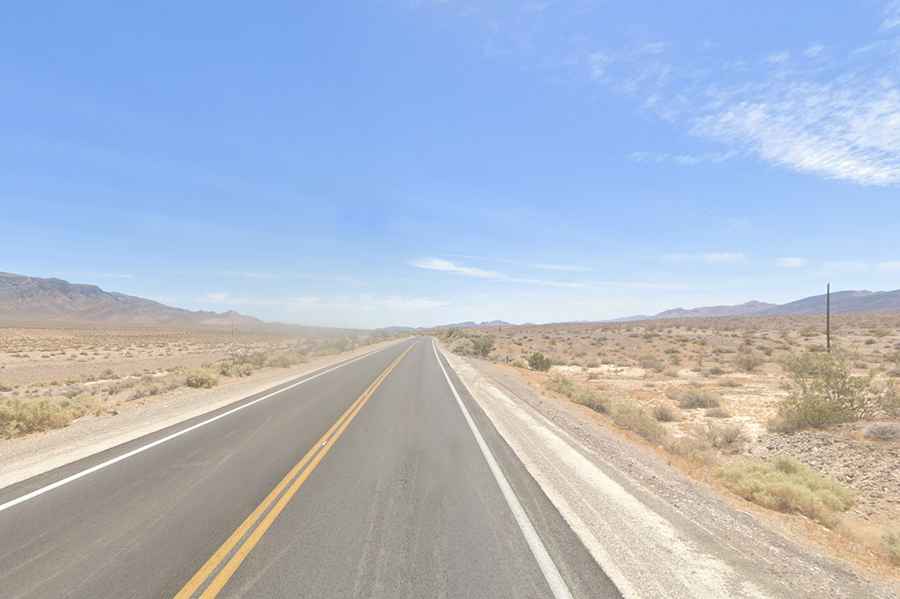
California State Route 127 is a breathtaking drive with stunning desert views, straddling Inyo and San Bernardino counties.
Where is Death Valley Road?
Commonly known as Death Valley Road, this highway is located in eastern California, running along the east side of Death Valley National Park.
Is Death Valley Road paved?
The road is fully paved. It’s a two-lane undivided highway on generally level terrain, set in a remote desert landscape. The route reaches its highest point at Ibex Pass, a mountain pass at 635m (2,083ft) above sea level. Be aware that it can be closed at any time due to flooding.
How long is Death Valley Road?
The highway stretches 91 miles (146 km), running south to north from its junction with I-15 in Baker (San Bernardino County) to the Nevada state line near Death Valley Junction (Inyo County).
Is Death Valley Road worth the drive?
With breathtaking desert scenery and abandoned mines to explore along the way, this road is truly a cinematographer’s dream. It even served as the "Lost Highway" in David Lynch’s film "Lost Highway".