How to get by car to the summit of Hamaker Mountain in Oregon
Hamaker Mountain is a high mountain peak at an elevation of 2,012m (6,601ft) above sea level, located in Klamath County, in the U.S. state of Oregon.

Where is Hamaker Mountain?
The peak is located in the southern part of Oregon, near the California border. The summit hosts a bunch of communication sites and a large radar dome.
Is the road to Hamaker Mountain unpaved?
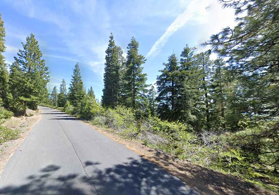
The road to the summit is called Chase Mountain Road, also known as Hamaker Mountain Road. It’s totally paved.
Is the road to Hamaker Mountain open in winter?
Set high in the Cascade Range, the road is not plowed in winter.
How long is the road to Hamaker Mountain?
Starting from the paved Green Springs Highway, the road to the summit is 12.39km (7.7 miles) long. Over this distance, the elevation gain is 687m, with an average gradient of 5.54%.
Is Hamaker Mountain worth the drive?
The summit offers many miles of stunning views year-round of Mt. Shasta, Mt. McLoughlin, and others, as well as rivers and lakes.