How to get to the top of Chase Mountain in Oregon
Chase Mountain is a high mountain peak at an elevation of 1,936m (6,351ft) above sea level, located in Klamath County, in the U.S. state of Oregon.

Where is Chase Mountain?
Set high in the southern part of Oregon, near the California border, the summit hosts communication towers, facilities, and a lookout tower. Established in 1928 with a 10x10' ground cab, this 20-foot all-steel live-in tower, built in 1951, was staffed every summer until the 2010s. The lookout is no longer staffed.
Is the road to Chase Mountain unpaved?
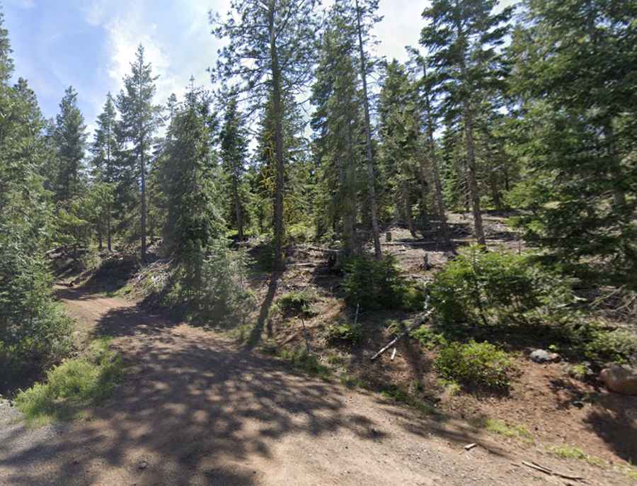
The road to the summit is called Chase Mountain Road, also known as Hamacker Mountain Road. It’s mostly paved, with only the final 1.7 miles unpaved. It’s a good gravel road up until the last 0.2 miles, where it gets a bit rough. The road is not plowed in winter.
How long is the road to Chase Mountain?
Starting from the paved Green Springs Highway, the road to the summit is 10.94km (6.8 miles) long. Over this distance, the elevation gain is 626m, with an average gradient of 5.72%.