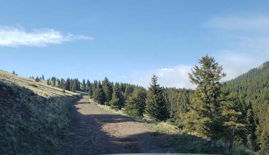
Driving a Wild 4x4 Road to Mount Taylor in New Mexico
Mount Taylor is a dormant volcano at an elevation of 3,441m (11,289ft) above sea level, located in Cibola County, in the U.S. state of New Mexico. It’s one of the highest roads in New Mexico.

Where is Mount Taylor?
Near the town of Grants in northwestern New Mexico, Cerro Pelon stands as the highest point within Cibola National Forest. The drive to the summit offers sweeping views, beginning with aspen-covered hillsides that gradually open up to expansive desert vistas stretching toward Arizona.
Why is it called Mount Taylor?
Under Spanish rule, the mountain was known as Cebolleta, meaning "little/tender onion." Following the U.S.-Mexico War in 1849, it was renamed in honor of President Zachary Taylor.
Why is Mount Taylor famous?
Mount Taylor lies within New Mexico's culturally rich Zuni region, an area deeply connected to the traditions of numerous surrounding Pueblo tribes. This mountain holds great spiritual importance for Indigenous communities, particularly for the Navajo, who consider it one of their four sacred peaks marking the boundaries of their homeland. Known in Navajo as Tsoodzil or "Turquoise Mountain," it is revered as a site of profound cultural and spiritual significance.
Is the Road to Mount Taylor Unpaved?
Located south of La Mosca Peak, the rugged, unpaved road to the summit is steep and rocky, demanding high-clearance, 4-wheel-drive vehicles, particularly in wet conditions. The final 3 miles include moderate slopes that benefit from low-range gearing for a controlled climb. While a full-size pickup can reach the top, the road narrows in sections, often resulting in pinstriping from branches for larger vehicles.
Is the Road to Mount Taylor Open in Winter?
At this elevation, Mount Taylor is the highest point in the San Mateo Mountains. Access is primarily limited to summer due to the altitude and exposure, with frequent lightning strikes posing additional risks. Early and late in the season, snow can still be present, so come prepared. Afternoon thunderstorms are frequent in June, July, and August, making it unsafe to be on Mount Taylor’s open slopes during one of these storms.
How Long is the Road to Mount Taylor?
Set high in the San Mateo Mountains, the road to the summit is 9.3 km (5.77 miles) long. Over this distance, the elevation gain is 919 m with an average gradient of 9.88%.
Pic: Landon Jones