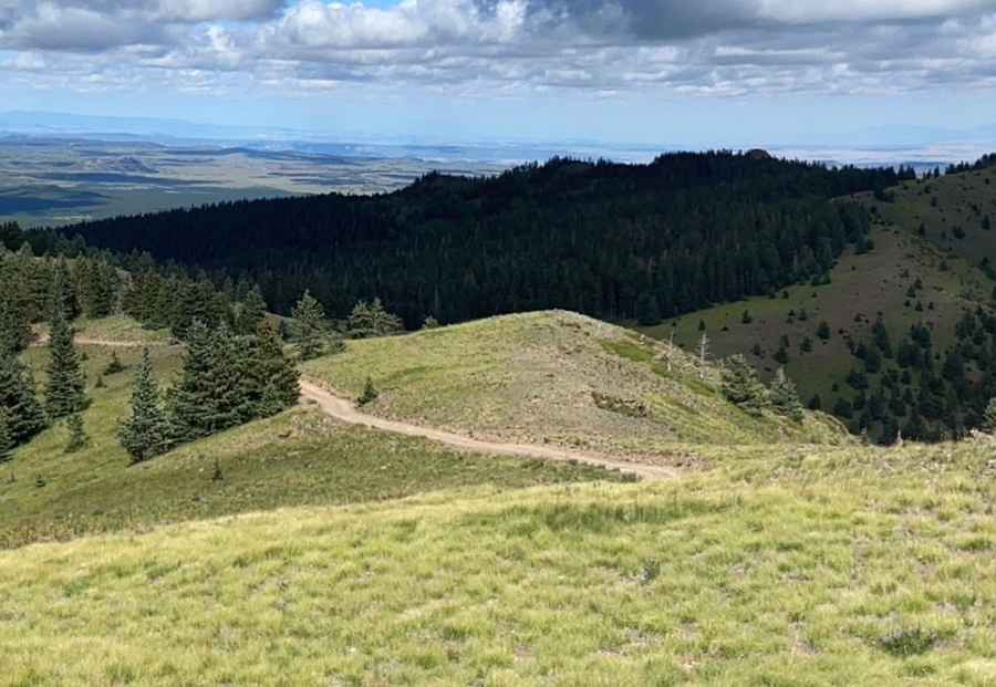
Driving the Wild Road to Cerro Pelon in the Manzano Mountains
Cerro Pelon is a high mountain peak at an elevation of 3,058m (10,032 ft) above sea level, located in Cibola County, in the U.S. state of New Mexico. It’s one of the highest roads in New Mexico.

Where is Cerro Pelon?
The peak is located in the northwestern part of New Mexico, within the Cibola National Forest.
Is the Road to Cerro Pelon Unpaved?
Located north of Mt. Taylor, the road to the summit is entirely unpaved, rough, and rocky. Known as Cerro Pelon Road, it requires high-clearance, 4-wheel-drive vehicles—especially in wet weather. Access is mostly limited to summer due to the high altitude and exposure. The climb is also prone to frequent lightning strikes.
How Long is the Road to Cerro Pelon?
Set high in the northernmost part of the Manzano Mountains, the road to the summit is 16.25 km (10.1 miles) long, running from the paved NM-547 (Lobo Canyon Road) to Forest Service Road 451.
Pic: John Sparks