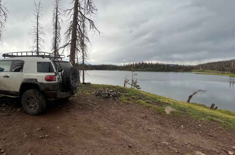
How to Get to Kerr Lake by Car in Southern Colorado?
Kerr Lake is a high mountain lake at an elevation of 3,482m (11,423 ft) above sea level, located in Conejos County in the U.S. state of Colorado.

Where is Kerr Lake?
This scenic natural lake is located in southern Colorado, near the New Mexico border, within the Rio Grande National Forest.
How Long is the Road to Kerr Lake?
The road to the lake, called Kerr Lake Road (#257), is completely unpaved and spans 6.43 km (4.0 miles), starting from Stunner Pass.
How Challenging is the Road to Kerr Lake?
The road begins as a maintained gravel road for the first two miles until reaching Lily Pond. The last two miles to Kerr Lake are rough; 4WD vehicles with good clearance and solid tires are essential. As the route continues, it becomes rockier, with hill climbs, dips, and potential mud puddles depending on recent rainfall. In wet conditions, expect several mud holes; some have bypasses, but not all.
Is the Road to Kerr Lake Open in Winter?
Set high in the San Juan Mountains of Colorado, the road is generally impassable in winter due to heavy snowfall.
Pic: FJX2000 Productions