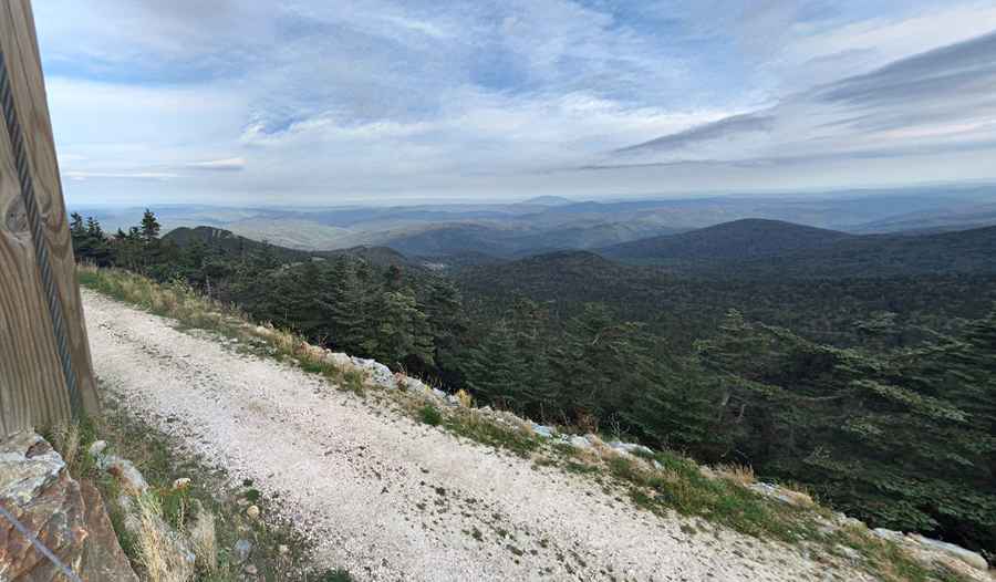
What are the highest roads of Vermont?
Vermont, often called The Green Mountain State, is situated in the New England region of the northeastern United States. Its name comes from the French words mont and vert, translating to "green mountain." Vermont shares borders with Canada to the north, New Hampshire to the east, Massachusetts to the south, and New York to the west, and it remains one of the more sparsely populated states.

The landscape of Vermont is notably hilly and mountainous, with dense forests covering much of the area. The iconic Green Mountains run north to south through the center of the state, shaping its unique terrain. The Connecticut River serves as a natural boundary between Vermont and New Hampshire. Vermont is also home to over 800 lakes, enhancing its picturesque scenery.
Highest Roads of Vermont
| Road | Elevation | County | Surface | Location |
| Killington Peak | 1,264m (4,147ft) | Rutland | Unpaved | 43.604250, -72.819222 |
| Mount Ellen | 1,238m (4,062ft) | Washington/Addison | Unpaved | 44.160417, -72.929194 |
| Mount Mansfield | 1,216m (3,989ft) | Lamoille | Unpaved | 44.52782, -72.81587 |
| Pico Peak | 1,206m (3,957ft) | Rutland | Unpaved | 43.639444, -72.836167 |
| Lincoln Peak | 1,206m (3,957ft) | Washington/Addison | Unpaved | 44.127278, -72.928167 |
| Mount Equinox | 1,170m (3,840ft) | Bennington | Paved | 43.166090, -73.117920 |
| Madonna Peak | 1,114m (3,655ft) | Lamoille | Unpaved | 44.561444, -72.758667 |
| Mount Snow | 1,095m (3,593ft) | Windham | Unpaved | 42.959306, -72.922639 |
| Snowden Peak | 1,087m (3,566ft) | Rutland | Unpaved | 43.616472, -72.820000 |
| East Mountain | 1,049m (3,442ft) | Essex | Unpaved | 44.665056, -71.771028 |
Pic: Raymond Mendoza