How to Get by Car to Otay Mountain in California?
Otay Mountain is a mountain an elevation of 1,087m (3,566ft) above sea level located in southeastern San Diego County, in the US state of California.

Where is Otay Mountain?
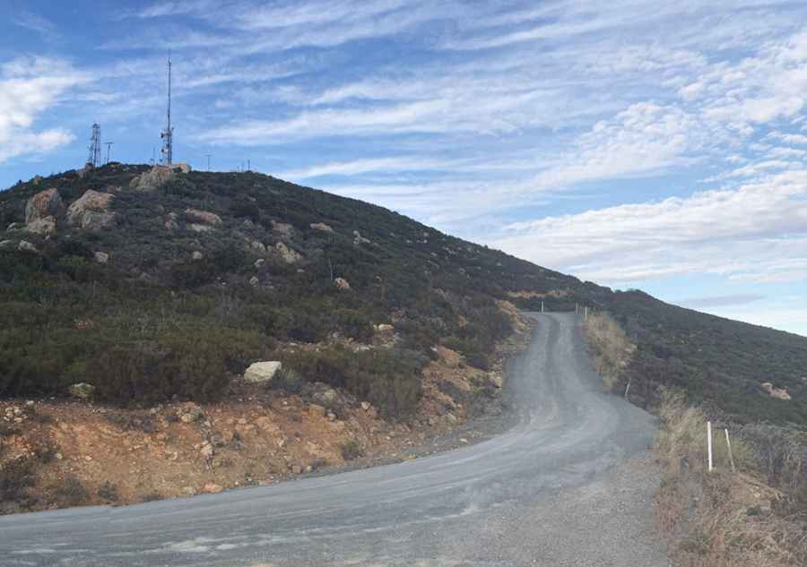
The peak is situated in the southwestern corner of California, just a few miles north of the Mexican border. The Mexico-United States border runs along the southern face of the mountain. The summit hosts radio towers and can be busy on weekends.
Why is it called Otay Mountain?
The name "Otay" comes from the Kumeyaay word otai, which means "brushy."
What happened on Otay Mountain in 1991?
On March 16, 1991, a Hawker Siddeley HS-125 airplane crashed into the mountain after taking off from nearby Brown Field Municipal Airport. All ten people on board were killed, including seven members of singer Reba McEntire's band, her business manager, and two pilots.
How Should I Drive to Otay Mountain?
The summit is close to the Mexican border and is heavily monitored by Border Patrol. You’re almost certain to encounter agents who may inquire about your activities. It's not recommended to visit the area at night.
Is the Road to Otay Mountain Unpaved?
The road is made up of dirt and gravel, staying mostly even throughout. It is essentially a dirt fire road with a few short paved sections. The last stretch is steep and rough. While the road is generally in good shape, it is prone to washouts during winter. A 4x4 vehicle is recommended.
How Long is the Road to Otay Mountain?
The road to the summit, known as Otay Mountain Truck Trail, is 22.85km (14.2 miles) long and runs north-south from Otay Lakes Road to downtown San Diego.
Is the Road to Otay Mountain Worth the Drive?
Set high in the San Ysidro Range within the Otay Open Space Preserve, the road and summit provide stunning views. From the top, you can see much of Tijuana, Coronado, Silver Strand, downtown San Diego, and surrounding areas in East Bay, East Lake, and East County.
Pic: Peter Casellini