Driving the Rugged Juniper Canyon Road in Big Bend
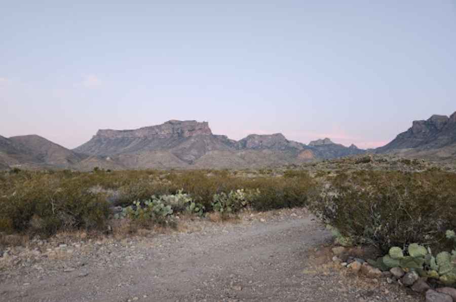
Juniper Canyon Road is a scenic drive located in Brewster County, Texas, offering stunning views of the Chisos Mountains. The road is very rocky and rough, typically requiring a 4WD vehicle.
Where is Juniper Canyon Road?
The primitive road is located in the western part of Texas, within Big Bend National Park, in the Chisos Mountains. The area is extremely remote, so come prepared. Cell service is nonexistent, so be sure to download offline maps.
Is Juniper Canyon Road Unpaved?
Winding through rugged desert terrain, the road is completely unpaved and is one of the rougher unimproved roads in Big Bend. The surface is rocky and uneven and may become rutted or washed out, especially after heavy rains. It features loose and chunky rocks, rolling hills, blind corners, and dry creek bed crossings. Inclement weather can drastically change road conditions. The road can be very rough, with large rocks and thorns that could damage street tires or the undercarriage of a low-clearance vehicle.
Can I Drive My Vehicle on Juniper Canyon Road?
To travel the road, you’ll generally need a 4WD vehicle with good all-terrain tires. Traveling with trailers is not recommended. Traffic is very light due to the road's remote location and rough condition. You’ll likely not want to drive faster than 5 to 10 miles per hour.
How Long is Juniper Canyon Road?
The road is 8.69 km (5.4 miles) long. It begins 7 miles along Glenn Springs Road and dead-ends at a parking lot for Juniper Canyon Trail and Dodson Trail, at 1,210 m (3,973 ft) above sea level. This short road has an elevation gain of 1,079 ft. A storage locker at the end of the road is often used to cache water for hikers on the Outer Mountain Loop Trail.
Pic: Anthony Wilson