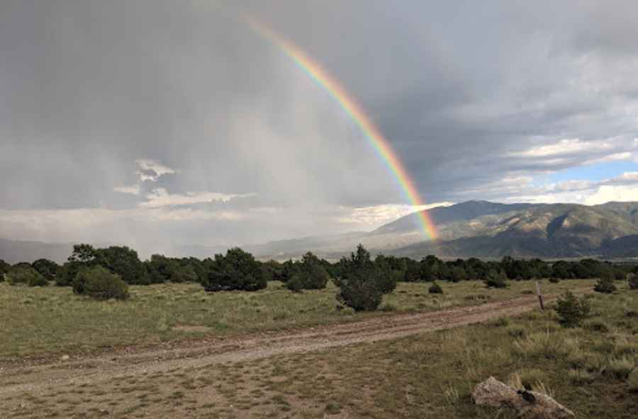
Driving an Old Mining Road to Mount Shavano in Colorado
Mount Shavano is a high mountain peak located in Chaffee County, in the U.S. state of Colorado. An old mining road, southeast of the peak, climbs up to 3,217m (10,554ft) above sea level.
Where is Mount Shavano?
The peak is located near Salida and Poncha Springs in central Colorado, within the San Isabel National Forest, just east of the Continental Divide. It is the southernmost and easternmost 14er in the Sawatch Range of the San Isabel National Forest.
Why is it Called Mount Shavano?
Named in honor of Chief Shavano of the Ute tribe, it is renowned for its “Angel of Shavano,” a snowfield on its east face that resembles an angel with outstretched wings. This unique snow formation becomes visible during the spring snowmelt.
Is the Road to Mount Shavano Unpaved?
The road to the summit is an old mining road called Forest Road 254. It is completely unpaved, rough, and rocky, with loose stones. The climb features many switchbacks and is quite steep. There are some narrow shelf sections, and the trail is bumpy with whoops in the second half. A 4x4 vehicle with high clearance is required.
How Long is the Road to Mount Shavano?
Starting from the paved US Highway 285, the road is 10.7 miles (17.21 km) long. Over this distance, the elevation gain is 793m, with an average gradient of 4.60%.
Is the Road to Mount Shavano Open in Winter?
Set high in the southern Sawatch Range, the area faces freezing weather and high winds, and the road is usually impassable from late October through late June or early July.
Pic: Joe Kubala