Take the Scenic CA-299 Road and Discover Cedar Pass in California
Cedar Pass is a high mountain pass at an elevation of 1,926 m (6,318 ft) above sea level, located in Modoc County, in the U.S. state of California.

Where is Cedar Pass?
The pass is located in the northeastern part of California, near the Oregon and Nevada borders, within the Modoc National Forest. Locals refer to the area as the Tricorner Region because of its location at the intersection of the California, Oregon, and Nevada state lines. At the summit, there is a parking lot.
Is the road to Cedar Pass in California paved?
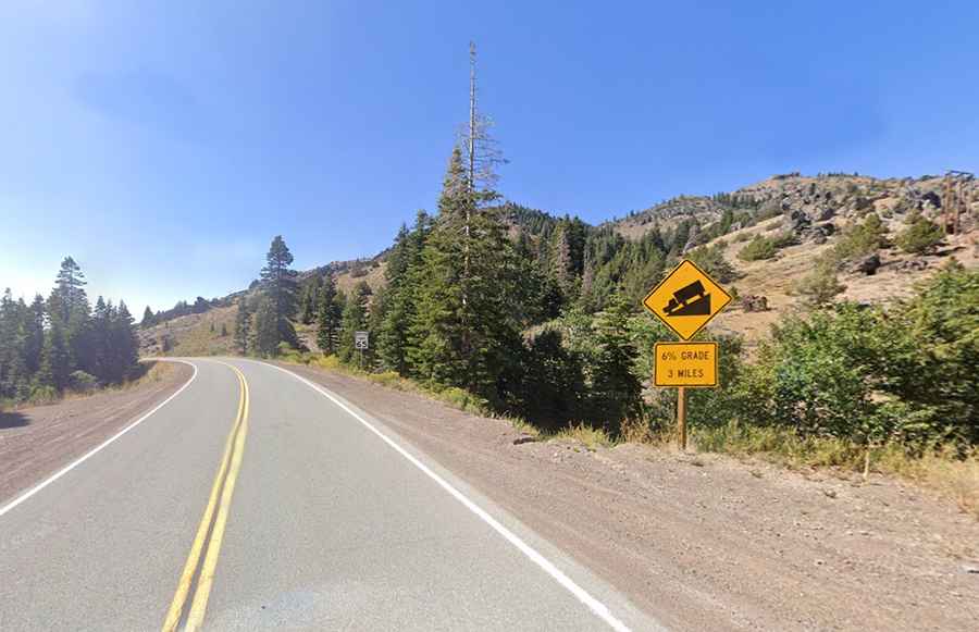
The road to the summit is fully paved and scenic, but quite challenging, with steep sections reaching a 6% gradient for 3 miles. It’s called California State Highway 299 (CA-299).
How long is Cedar Pass in California?
The pass spans 26.87 km (16.7 miles), running east to west from Cedarville to Surprise Station.
Is Cedar Pass in California open in winter?
Set high in the majestic Warner Mountains, Cedar Pass is the highest point of the road. The pass is usually open year-round, but short-term closures are common in winter.