How to get to Slide Lake in Colorado by car
Slide Lake is a high mountain lake at an elevation of 3,575m (11,729 ft) above sea level, located in Lake County, in the US state of Colorado.

Where is Slide Lake?
The lake is situated north of Leadville, in the central part of Colorado, within the San Isabel National Forest.
Is the road to Slide Lake in Colorado unpaved?
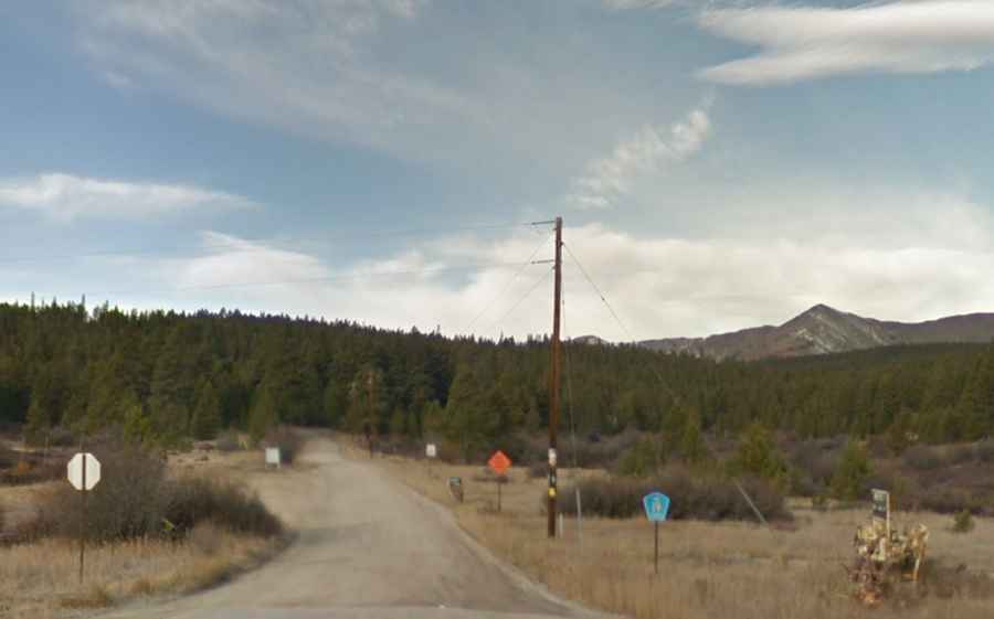
The road leading to the lake, Forest Road 145, is entirely unpaved and accessible only to 4-wheel drive vehicles. Along the way, you'll find a parking area on the right, offering access to a 10th Mountain Hut, nestled among trees on the left. The road continues through denser forest and ends at the Slide Lake Trailhead, which has a picnic table and a dispersed campsite, with parking spaces interspersed between trees. From the western end of the parking area, the Slide Lake Trail ascends gradually for about 0.5 miles to the lake.
What’s the 10th Mountain Hut?
The 10th Mountain Division Hut is located just below the lake. Built in 1989, it was dedicated to the U.S. Army’s 10th Mountain Division, funded by veterans Bill Boddington, Col. Pete Peterson, Maury Kuper, and Bill Bowerman.
How long is the road to Slide Lake in Colorado?
Starting from the paved U.S. Route 24 (US 24), to the south of Tennessee Pass, the road to the lake is 7.7 km (4.78 miles) long, with an elevation gain of 479 m. The average gradient is 6.22%. The road is typically open from July to October due to heavy snowfalls.