Driving the Steep Pine Creek Road in Inyo County
Pine Creek Road is a challenging drive with steep sections and narrow parts, located in Inyo County, in the US state of California.
Where is Pine Creek Road?
The road is situated near Bishop, in northwestern Inyo County, in the eastern part of California, within the John Muir Wilderness of the Inyo National Forest. Set high in the Eastern Sierra Nevada Mountains, avoid drinking any water east of Morgan Pass (Lower Morgan Lake) down to Pine Creek, as there are residual mining chemicals in the area. Remember that the Sierra Nevada Mountains are bear country, and proper precautions must be taken. Rattlesnakes are also common.
How long is Pine Creek Road?
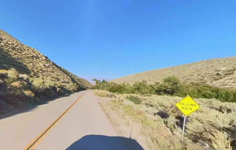
The road is fully paved but narrow and winding. It is 16.57 km (10.3 miles) long and ends at an elevation of 2,400 m (7,874 ft) above sea level. Over this distance, the elevation gain is 1,018 m, and the average gradient is 6.14%. It is very steep in parts, with a maximum gradient of 11.2% on some sections.
Where does Pine Creek Road start and end?
The road starts from Highway 395 (Eastern Sierra Scenic Byway) and ends at the abandoned Pine Creek Tungsten Mine. The Union Carbide Tungsten Mine began operation in 1937 and continued through 1990. Near the end, there is a small parking lot for the Pine Creek Pass Trailhead and a mining trail leading to Mount Morgan.
Pic: Wells Bengston