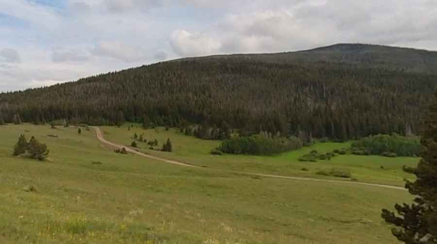
How to Drive the Historic Priest Pass in Montana
Priest Pass is a high mountain pass at an elevation of 1,832 m (6,010 ft) above sea level, located on the boundary between Powell and Lewis and Clark counties in the US state of Montana.

Where is Priest Pass?
The pass is located across the Continental Divide, west of Helena, the state capital, in the western part of Montana, within or near the Helena National Forest.
Why is it Called Priest Pass?
The pass is named after Valentine Priest (1831-1890), who once managed the MacDonald toll road over the divide and later built Priest Pass, a competing route nearby.
When Was the Road Through Priest Pass Built?
Priest Pass is just north of MacDonald Pass and allows access to the Continental Divide Trail. The road through the summit was one of the first toll roads in Montana during the era of gold rushes and outlaws.
How Long is the Road Through Priest Pass?
The road to the summit is called Priest Pass Road. It is 13.35 km (8.3 miles) long, running west-east from the unpaved Austin-Mullan Pass Road to the paved US-12.
Is the Road Through Priest Pass Unpaved?
The road through the summit is entirely unpaved and steep in parts, hitting 13.8% maximum gradient through some of the ramps. The western part of the climb is quite rough with some rocky sections. On the eastern side, the surface is much better; there is no gravel, just smooth, hard, compressed dirt.
Is the Road Through Priest Pass Open in Winter?
Set high in the Rocky Mountains of Montana, the area receives significant snowfall in winter, making it a challenging route during colder months.
Pic: Lilian Chan