An Unforgettable Drive to Rhyolite Mountain in Teller County
Rhyolite Mountain is a high mountain peak at an elevation of 3,230 m (10,597 ft) above sea level, located in Teller County, in the U.S. state of Colorado.
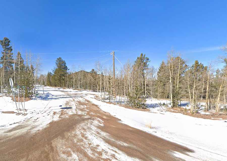
Is the road to Rhyolite Mountain unpaved?
Tucked away in the central part of Colorado, the road to the summit is completely unpaved, with narrow parts and steep sections. It’s called Rhyolite Mountain Mesa on some maps.
Is the road to Rhyolite Mountain open in winter?
Set high in the Rocky Mountains of Colorado, the road is usually impassable from late October through late June or early July (depending on snow).
How long is the road to Rhyolite Mountain?
Starting from the paved Colorado State Highway 67, the ascent is 2.0 km (1.24 miles) long. Over this distance, the elevation gain is 122 m, and the average gradient is 6.10%.