Driving the Paved I-40 to Mountain Springs Summit in California
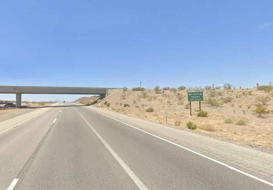
Mountain Springs Summit is a mountain pass at an elevation of 844m (2,770ft) above sea level, located in San Bernardino County, in the U.S. state of California.
Where is Mountain Springs Summit?
The pass is located within the Mojave Desert, in the southern portion of California. The summit, near the small community of Goffs, California, is characterized by its arid desert environment, typical of the Mojave Desert.
Is Mountain Springs Summit Paved?
The road through the summit is fully paved and well-maintained. It’s called Interstate 40 (I-40). Part of the old Route 66, it’s a major east-west highway running through the southern United States. The road is extremely busy with trucks.
How Long is Mountain Springs Summit?
The pass is 55.36 km (34.4 miles) long, running west-east from Fenner to Needles (in eastern San Bernardino County, near the Arizona border).