Usery Pass in Arizona is an absolute must for road lovers
Usery Pass is a mountain pass at an elevation of 647m (2,122ft) above sea level, located in Maricopa County, in the U.S. state of Arizona.
Where is Usery Pass?
The pass is located in the southern part of Arizona, to the east of Phoenix, within the Tonto National Forest.
Why is it called Usery Pass?
It was named after King Usery (sometimes spelled Ussery). "King" was his first name, rather than a title. He was a cattleman who was running stock in the area in the late 1870s and early 1880s.
Is Usery Pass paved?
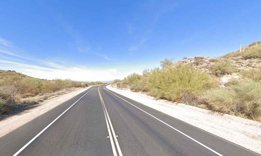
The road through the summit is fully paved and well-maintained. It’s called Usery Pass Road (also known as Forest Route 12). The road features some curves and elevation changes, but it is generally safe and easy to drive. However, visitors should be cautious during heavy rain or storms, as flash flooding can occur in desert areas.
How long is Usery Pass?
The road to the pass is 9.49km (5.9 miles) long, running south-north from Mesa to North Bush Highway.
When is the best time to drive to Usery Pass?
At the summit, there’s a small parking lot. The pass offers stunning views of the surrounding Sonoran Desert landscape. The best time to visit Usery Pass is during the cooler months, from fall to spring, when temperatures are more moderate and suitable for outdoor activities. During the warmer months, drive with caution as big trucks pulling boats take over the road.