How To Have The Ultimate Road Trip To Pat Knoll in Arizona
Pat Knoll is a high mountain peak at an elevation of 2,859m (9,379ft) above sea level, located in Apache County, in the U.S. state of Arizona. It’s one of the highest roads in Arizona.
How long is the road to Pat Knoll?
The peak is located in the northeast corner of the U.S. state of Arizona, within the Apache-Sitgreaves National Forest.
Can you drive to Pat Knoll?
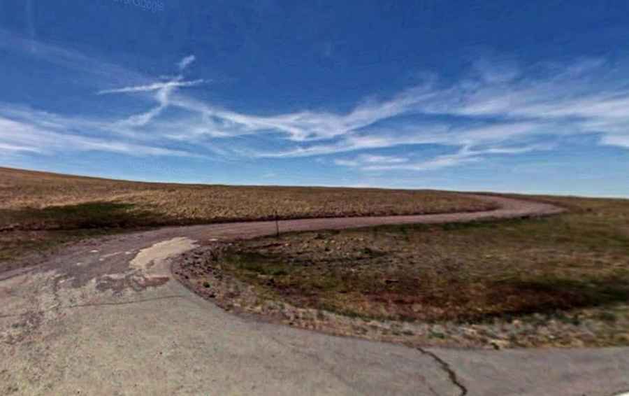
The road to the summit is entirely unpaved, comprising Forest Road 90 and Route 60. A 4x4 vehicle is recommended. The road is closed in winter.
How long is the road to Pat Knoll?
Starting on the paved AZ-261, the road to the summit is 8.04km (5.0 miles) long.