Driving the challenging Sleeping Deer Road in Idaho
Sleeping Deer Road is a very challenging 4x4 road located in the center of the U.S. state of Idaho. It’s one of the highest roads in Idaho.
Where is Sleeping Deer Road?
The road, known as Forest Road 086, spans Custer and Lemhi counties, in the central part of Idaho.
Why is it called Sleeping Deer Road?
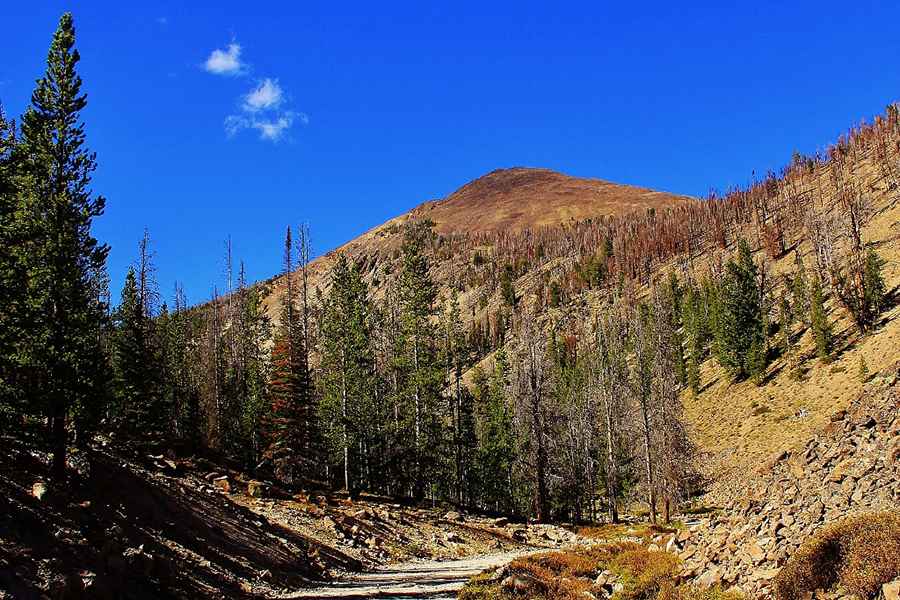
The road is named after Sleeping Deer Mountain, located near the end of the road.
How long is Sleeping Deer Road?
The dirt road is 43.29km (26.9 miles) long, running from Forest Road 537 to Rock Lakes, ending at 2.845m (9,333ft) above sea level.
Is Sleeping Deer Road unpaved?
The single-track road is pretty challenging. It’s entirely unpaved. A 4x4 vehicle is required.
Is Sleeping Deer Road open?
Set high in the Salmon-Challis National Forest, the road is seasonally closed. It opens late and closes early due to snow.
Pic: Bob McDonald