Boulder Creek Road is one of the most difficult drives in Idaho
Located in Blaine County, in the U.S. state of Idaho, Boulder Basin sits at an elevation of 2,987m (9,799ft) above sea level. It’s one of the highest roads in Idaho.
Where is the Boulder Basin?
The basin is located 15 miles northwest of Ketchum, in the central part of Idaho.
Can I drive to Boulder Basin?
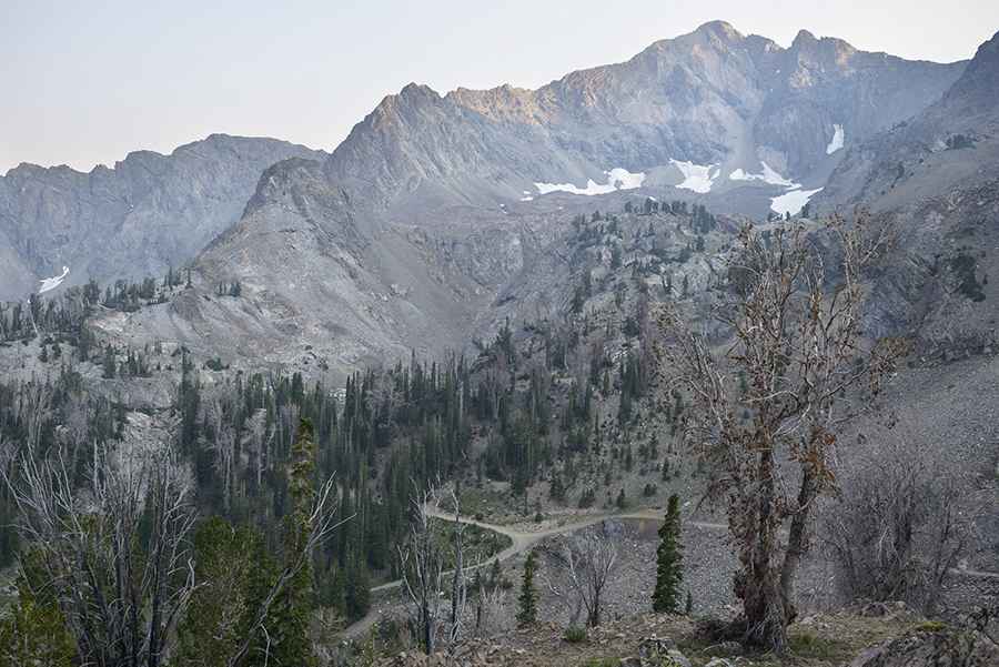
The road to the basin is entirely unpaved. It’s called Boulder Creek Road and comprises County Road 158A and County Road 158. It was built to give access to the historic (now abandoned) mining town of Boulder City.
How long is the road to Boulder Basin?
Starting at the paved Highway 75 (ID-75), the road is 9.17km (5.7 miles) long. Over this distance, the elevation gain is 851m, and the average gradient is 9.28%.
How challenging is the road to Boulder Basin?
The very bumpy rocky dirt road is not easy. Some people say it’s one of the roughest roads in the state. A 4x4 vehicle with high clearance and air down is required. The trail becomes more difficult the further up you go, as the road transitions from dirt to shale rock with a stream running down the middle. The last mile or so is a narrow road running along the side of the mountain with no places for other vehicles to pass except at the top.
Is the road to Boulder Basin open?
Part of the Boulder Mountains which are a subset of the Rocky Mountains, the road is seasonally impassable in winters due to snow. The best time is July through August.
Is the road to Boulder Basin worth it?
The road provides stunning views as it leads to the historic abandoned mining town of Boulder City and a gorgeous secluded lake in the mountains.
Pic: Jason Abbott