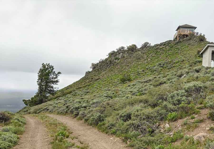
The wild 4x4 road to Hager Mountain in Oregon
Hager Mountain is a volcanic peak at an elevation of 2,191m (7,188ft) above sea level, located in Lake County, in the U.S. state of Oregon. The area is known for its scenic vistas and wild places.

Where is Hager Mountain?
The peak is located in western Lake County, in the south-central part of Oregon, within the Fremont–Winema National Forest.
How long is the road to Hager Mountain?
The road to the summit is entirely paved and known as NF-2902. Stretching 39.75km (24.7 miles) from Silver Lake, a 4x4 vehicle is required for the journey.
Is Hager Mountain worth it?
The summit hosts a fire lookout built in 1954. It is staffed for fire detection annually during the fire season and is open to guests in the winter months, reservable by the public via recreation.gov. Surrounded by towering snow-capped peaks, volcanic landscapes, and wide-open sage basins, the summit offers 360-degree views, reaching as far as Mount Hood and Mount Shasta on a clear day.
Is the road to Hager Mountain open?
Perched high on the crest of the Cascade Range, the road is typically impassable in winter. Weather conditions in this area can change rapidly. The road up the mountain is closed to private vehicles and is reserved only for Forest Service staff use.
Pic: Michael Asay