How to Get to Burley Mountain in Washington by Car?
Burley Mountain is a high mountain peak at an elevation of 1,624m (5,328ft) above sea level, located in Lewis County, in the U.S. state of Washington.
Is the road to Burley Mountain in Washington unpaved?
Set high in the Gifford Pinchot National Forest, the road to the summit is entirely unpaved. It’s called NF-7605. The potholed road can be very rough and has been closed off and on in the past due to poor conditions or washouts. A high-clearance 4WD vehicle is required.
How long is the road to Burley Mountain in Washington?
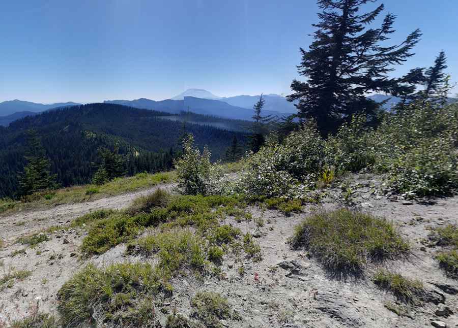
The road to the summit is 35.72km (22.2 miles) long, starting from Randle, a small town in eastern Lewis County. The summit hosts a lookout tower, known as Burley Mountain Lookout. It was built in 1934 and is still active today. The views from the summit include four volcanoes: Adams, Rainier, Saint Helens, and Hood.
Pic: Anti Johnny