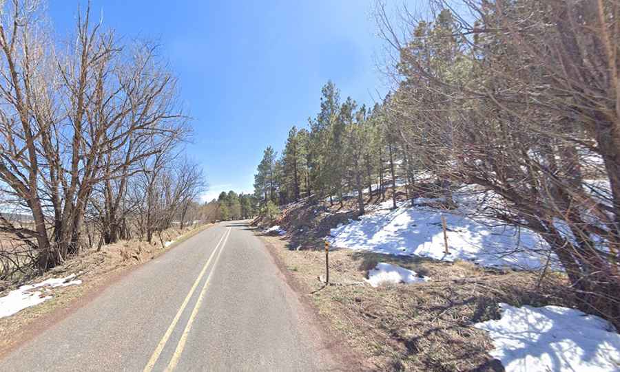
An Epic Road to Cebolla Pass in New Mexico
Cebolla Pass is a high mountain pass at an elevation of 2,338m (7,670ft) above sea level, located on the boundary between Mora and San Miguel counties, in the US state of New Mexico.

Is the road to Cebolla Pass in New Mexico paved?
Tucked away in the northern part of New Mexico, the road to the summit is fully paved. It’s called NM-94. It’s in good quality, mostly straight with a few steep parts. At this elevation, it’s the highest point of the road.
How long is Cebolla Pass in New Mexico?
Set high in the Sangre de Cristo Mountains, the road is 29.61km (18.4 miles) long, running north-south from Mora (the county seat of Mora County) to Sapello (in San Miguel County).