Things to Know Before Driving to Dollarhide Summit in ID
Dollarhide Summit is a high mountain pass at an elevation of 2.657m (8,717ft) above the sea level, located on the boundary of Blaine and Camas counties in the U.S. state of Idaho.
Can you drive to Dollarhide Summit in ID?
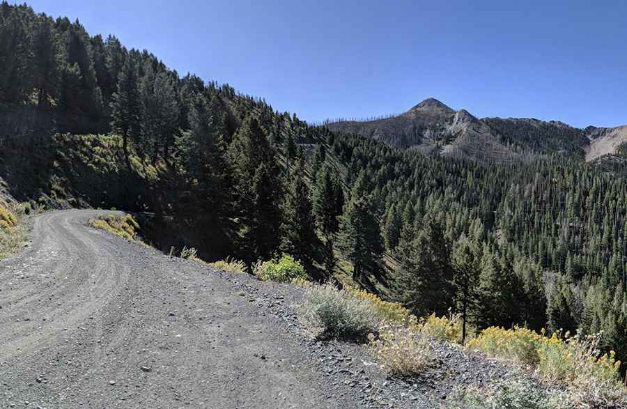
Tucked away in the Sawtooth National Forest, the road to the summit, also known as Dollarhide Pass, is mostly unpaved (with occasional rough dirt road conditions). It’s called Forest Service Road 277 (aka Warm Springs Road). It’s the highest point on the road. In dry summer conditions, it can be done in any SUV or a pickup truck.
How long is the road to Dollarhide Summit in ID?
Set high in the Smoky Mountains of Idaho, the pass is 108.63km (67.5 miles) long running east-west from Ketchum to Featherville. Plan 3-4 hours to complete the remarkable drive without stops. The road is pretty steep (stays between 5-7 %) with hairpin turns and usually closed in winters. No cell phone reception.
Pic: Josh Ringelstetter