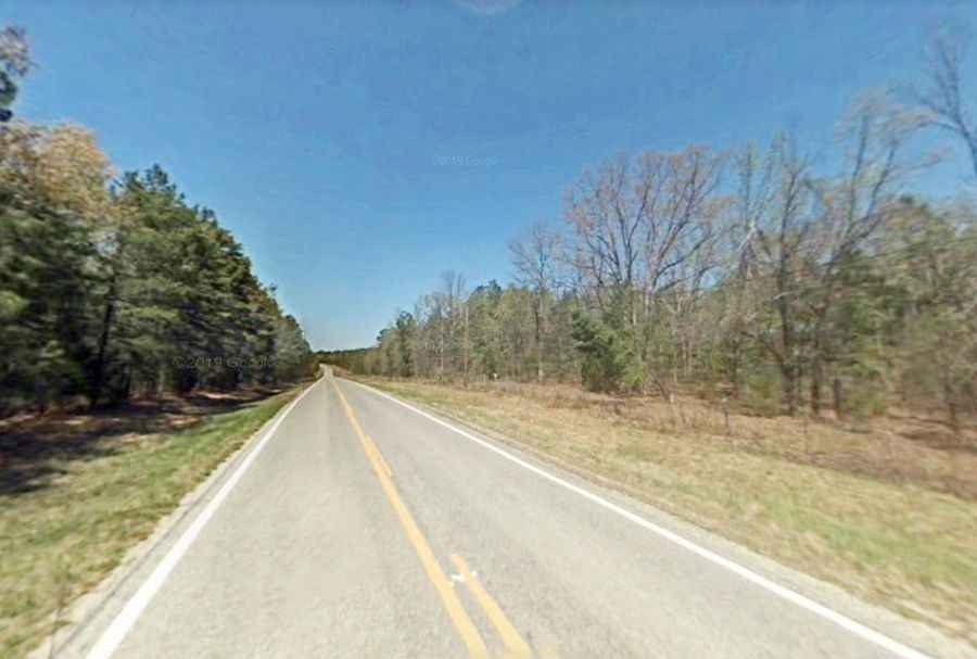
The journey is the destination along the Sylamore Scenic Byway in AR
Sylamore Scenic Byway is the name of a picturesque road located in Stone County, in the U.S. state of Arkansas.

How long is Sylamore Scenic Byway in AR?
Tucked away in the southeast corner of the Ozark National Forest, the road is totally paved. It comprises Arkansas State Highways 5 and 14 and Forest Service Road 1110. The road is 42.6 km (26.5 miles) long, running from Blanchard Springs Caverns to the White River at Calico Rock.
How long does it take to drive Sylamore Scenic Byway in AR?
To drive the road without stopping will take most people between 90 and 120 minutes. The winding byway has stunning views of mountains, valleys, lakes, and waterfalls and offers a gorgeous drive and fascinating attractions along the way.