A rugged single-lane road to Surveyors Ridge in ID
Surveyors Ridge is a high mountain peak at an elevation of 1.886m (6,187ft) above the sea level, located in Shoshone County, in the U.S. state of Idaho.
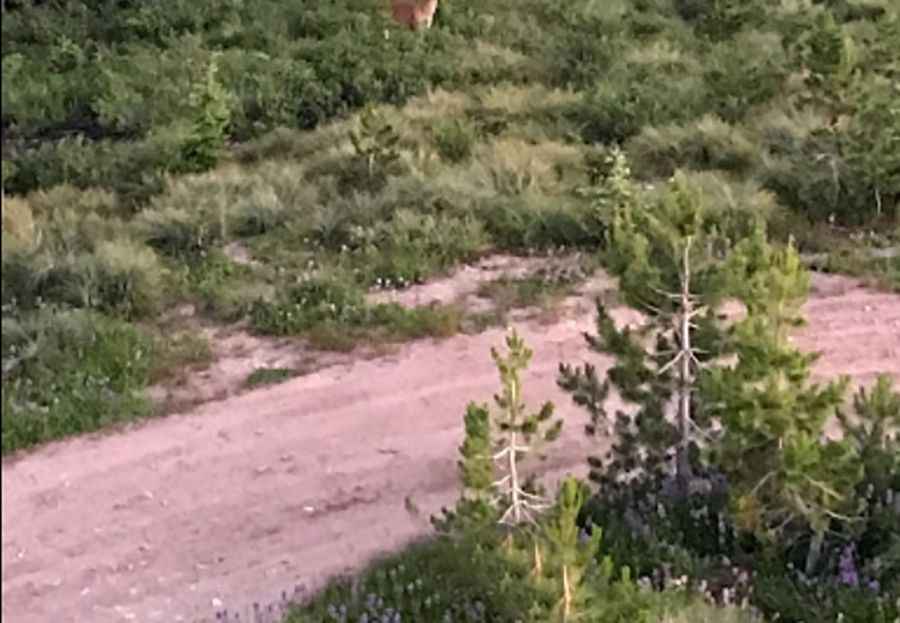
Tucked away in the Idaho Panhandle National Forests, the road to the summit is totally unpaved. It’s called Road 395A. It’s a rugged single-lane road with pullouts. Not recommended for low clearance vehicles. Road may be slick when wet.
The summit hosts a lookout tower built in 1931 and replaced with the current structure in 1964. It stands 30 feet off the ground and provides phenomenal views of Snow Peak and the surrounding mountains. Keep in mind the area is pretty remote: the closest town with services is St. Regis, Montana, which is over two and a half hours away.
Pic: R D R