An epic enthralling road to Carter Summit in CA
Carter Meadows Summit is a high mountain pass at an elevation of 1.883m (6,177ft) above the sea level, located in Siskiyou County, in the northernmost part of the U.S. state of California.
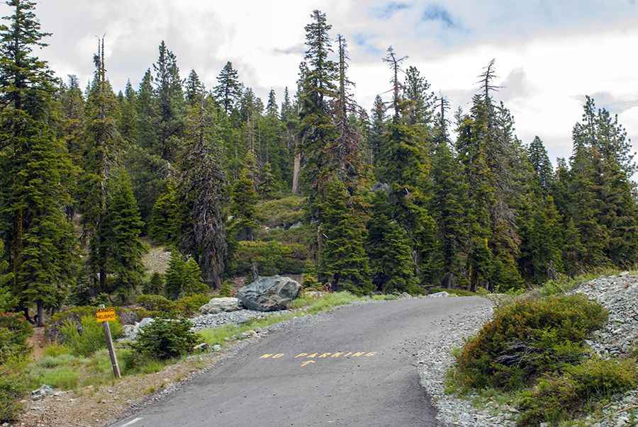
Set high in the Klamath National Forest, in Northern California, the road to the summit is totally paved but pretty narrow. It’s called Callahan-Cecilville Road (County Road 1C02). Access to the pass is typically open all year round, with the occasional closure in winters due to dangerous weather conditions. If you do choose this route please check up to date information.
The pass is 85.61km (53.2 miles) long, running from Forks of Salmon, at the confluence of the north and south forks of the Salmon River to Callahan.
Pic: L kayak003