Road trip guide: Conquering Castle Pass in CA
Castle Pass is a high mountain pass at an elevation of 2.420m (7,939ft) above the sea level, located in Nevada County, in the U.S. state of California.
Is the road to Castle Pass in CA paved?
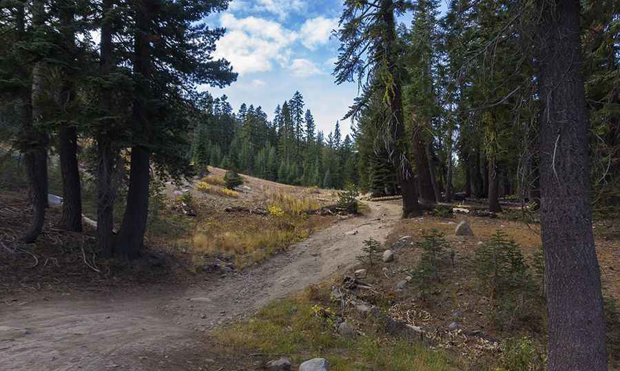
Tucked away in Tahoe National Forest, the dirt road to the summit is totally unpaved. It’s usually known as Castle Valley Fire Road. A 4WD vehicle with high clearance is required. Castle Pass takes its name from the nearby Castle Peak
Is Castle Pass open?
Set high in Carson Range, in the northern Sierra Nevada, this road is usually impassable from late October through late June or early July (depending on snow). The open and close dates all depend on snowmelt and snowfall each year. It can get quite cold and windy so prepare accordingly: steady 45 mph winds and gusts up to 60 are common. Winters at the summit can be brutal, as it’s one of the snowiest places in the contiguous United States. The road is often under snow until the beginning of July.
Is the road to Castle Pass in CA steep?
Located to the north of Interstate 80, the road to the summit is very steep, hitting a 17% of maximum gradient through some of the ramps. Starting at the paved Interstate 80, near Donner Pass, the ascent is 2.89km (1.8 miles) long. Over this distance the elevation gain is 224 meters. The average gradient is 7.75%.
Pic: Jason Deters