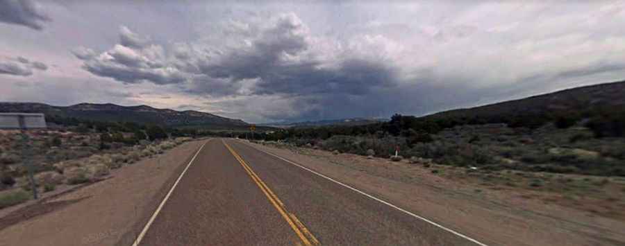
The Loneliest Highway to Pancake Summit in NV
Pancake Summit is a high mountain pass at an elevation of 1.993m (6,538ft) above the sea level, located in White Pine County, along the central eastern boundary of the U.S. state of Nevada.

Set high in the White Pine Range, in southern White Pine County, the road to the summit is totally paved. It’s called US Highway 50, nicknamed as the Loneliest Highway in America. Access to the pass is typically open all year round, with the occasional closure in winters due to dangerous weather conditions. The name is likely descriptive, referring to its resemblance to a stack of pancakes.
The road is pretty steep, with some parts up to 8% grades with numerous turns. The pass road is 125km (77 miles) long, running west-east from Eureka to Eli.