Exploring the scenic Mouse's Tank Road in Nevada
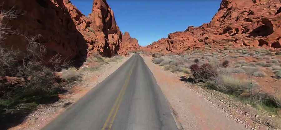
Mouse's Tank Road is a very scenic drive located in Clark County, in the U.S. state of Nevada. It is probably one of the most scenic and photographed spots in the park, featuring narrow canyons, stunning viewpoints, colorful rocks, and petroglyphs.
Where is Mouse's Tank Road?
The road is located in northeastern Clark County, in the heart of the Valley of Fire State Park, the oldest state park in Nevada.
How long is Mouse's Tank Road?
It’s 9.17km (5.7 miles) long, starting from Valley of Fire Road and running northward beside the visitor center to Mouse’s Tank, a natural basin in the rock where water collects after each rainfall.
Is Mouse's Tank Road paved?
Also known as White Domes Road, the dead-end road is totally paved but a bit bumpy. The drive is as beautiful as the destination. It tops out at 656m (2,152ft) above sea level.
Is Mouse's Tank Road worth the drive?
The picturesque drive is famous for its surrounding beauty as well. The road passes numerous postcard-worthy vistas surrounded by vibrant rock formations. Make sure you leave enough time to make plenty of stops along the way. Bikers will enjoy this road as well.