Copper River Highway, one of the most scenic roads in Alaska
Located in the Valdez-Cordova Census Area, Alaska, in USA, the Copper River Highway is a very scenic drive, a pure scenery gem.
How long is the Copper River Highway?
The road is 49.5 miles (79.7 km) long and leads from the town of Cordova to the Million Dollar Bridge over the Miles Glacier, along the old railbed of the Copper River and Northwestern Railway. A basic, rough four-wheel-drive unpaved road continues for 10 miles (16 km) beyond the end of the highway to the Allen River. Beyond the bridge you may drive 2.4 miles further till there is a sharp drop where most vehicles turn around. Only ORV and possibly extremely high wheel-base 4-wheel drives may be able to go further.
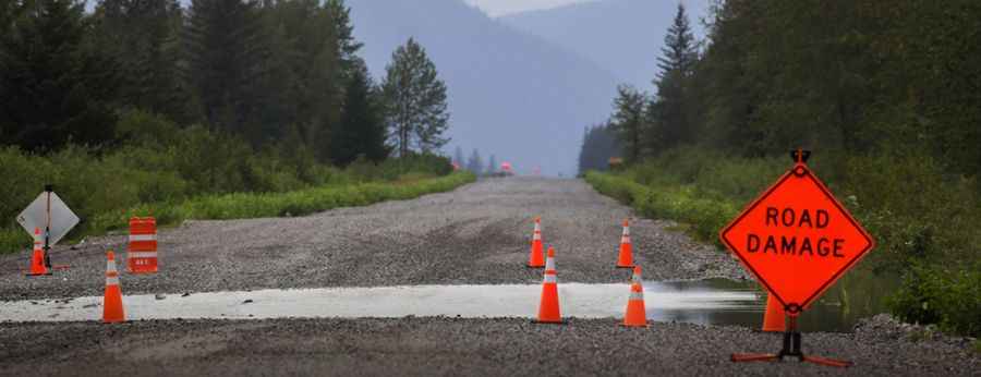
Is the Copper River Highway closed?
The road features a high risk to be washed out. It is currently closed beyond mile 36, due to safety concerns caused by the erosion of the approach to Bridge 339. As of this time, the road does not go beyond that point. The highway past mile 36 has been de facto abandoned since 2011. The closure will last until the bridge is replaced.
Is the Copper River Highway unpaved?
The old railroad grade is improved as a mostly gravel road The first 12 miles (19 km) of the highway is paved; the rest is gravel. There are several highlights along this fairly short highway, such as great trails and scenic lookout points.
Is the Copper River Highway closed in winters?
The road is closed in winters beyond Mile 12.4. Construction of the highway began in 1945. Most of the time, the road is accessible by passenger car and RV. Snow may prevent access to many points along the highway well into spring.
Pic: https://www.thecordovatimes.com/2018/08/24/copper-river-highway-washout-forces-early-business-closures/