Driving the scenic North Carolina Highway 12 with sand and water
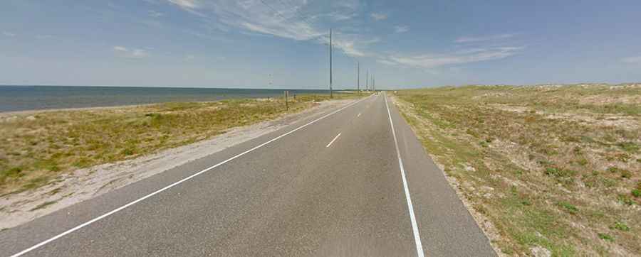
North Carolina Highway 12 (NC 12) is a very scenic coastal route located in the U.S. state of North Carolina. It’s often inundated with water and sand.
How long is NC-12?
The road is 238 km (147 miles) long. It’s a thin strip of asphalt on top of sand, connecting the peninsulas and islands of the northern Outer Banks. The road is fully paved and utilizes 2 ferry services to access both ends of Ocracoke Island.
Where Does NC-12 start and end?
The drive spans the length of the Outer Banks from U.S. 70 at Sea Level to Cape Hatteras, Bodie Island, and Corolla. Most sections of the road, situated between sound and sea, are two lanes wide.
Is NC-12 dangerous?
Coastal storms make travel 'hazardous' and 'dangerous' as it easily floods and washes away during hurricanes. The road is subject to extreme weather conditions: the ocean inundates the road with water, beach erosion occurs, high winds suspend ferries, and it is susceptible to breaches caused by storms, with several spots inundated with sand. NC 12 is often damaged by various storms that frequent the Outer Banks. Along the route, you’ll find lots of sand dunes, and people flying kites because of the wind.
Is NC-12 worth it?
This scenic route offers numerous tourist attractions to stop at and enjoy during breaks. The historical lighthouses along this route include Bodie Island, Hatteras, and Ocracoke. Hatteras and Ocracoke are beautiful places to visit.