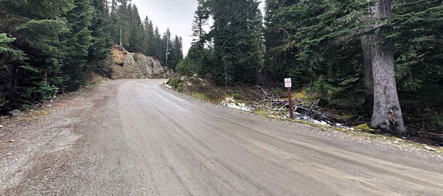
A Rough Road with Potholes to Mowich Lake in Washington
Mowich Lake is a high mountain lake with clear, blue waters at an elevation of 1,530m (5,019ft) above sea level, located in Pierce County, in the U.S. state of Washington. It’s the largest and deepest lake in Mount Rainier National Park.

What Highway Would You Take to Mowich Lake?
The road to the lake is called State Highway 165, also known as Mowich Lake Road and Mountain Meadows Road.
Is Mowich Lake Road Dangerous?
The road is mostly unpaved and often very rough with potholes. Drive with caution. It’s passable in a 2WD vehicle in good conditions. However, some significant potholes could cause major damage to your vehicle.
Is Mowich Lake Road Open?
The road is impassable in winter, making the lake inaccessible except for those with snowshoes or backcountry skis. It’s generally open from late May through mid-October. The area has a short summer season, and snow can linger well into June or later.
How Long is the Road to Mowich Lake in Washington?
Starting from Buckley, the road to the lake is 17 miles (27 km) long. It ends at the Mowich Lake parking area.
How Long Does It Take to Drive the Mowich Lake Road?
Allow about 45 minutes to complete the drive. The duration does not include any stops or side-trips. The drive runs through dense forest, endless valleys, and offers stunning views of Mount Rainier.
Pic: Mark Lambie