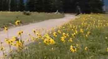
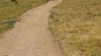
What are the most spectacular roads in the USA?
Located in North America, the USA is a true paradise for drivers, as it hosts more than 2,000 roads listed as the most spectacular in the world.
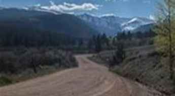
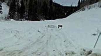
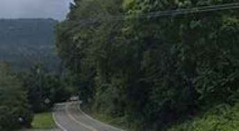
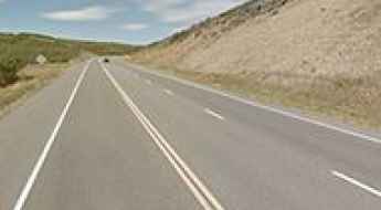
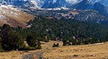
Featuring mountains, deserts, coasts, and snow, in the USA you’ll get your dream road. And you’ll never want to wake up. For instance, at the top of your list, you need to drive the Million Dollar Highway, the most beautiful road in America, and probably in the world. Built in the late 1880s, you'll be on the "outside" for a while with a hell of a view to your right (let the passenger enjoy the view; you'll want to watch the road). Another paved option must be the Iron Mountain Road, featuring 17 miles, 314 curves, 14 switchbacks, 3 pigtails, and 3 tunnels in the Black Hills of South Dakota. No list would be complete without the winding Tail of the Dragon: 318 curves in 11 miles. Spanning Tennessee and North Carolina, it is one of the most scenic drives in the USA. You also can’t skip driving Mount Evans Scenic Byway, the highest paved road in North America, climbing up to 4,310m (14,130ft) in Colorado. It is said to be the highest paved road in North America.
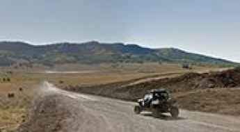
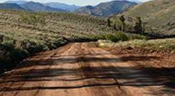
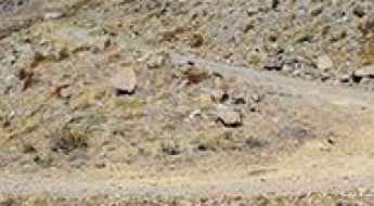
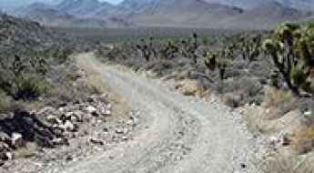
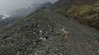
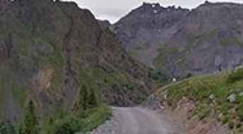
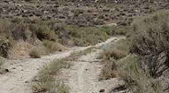
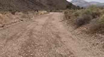
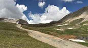
For those who prefer unpaved experiences, the country hosts some of the most defiant yet scenic roads in the world. You can’t miss Black Bear Pass, a high mountain adventure in the Colorado Rockies. Climbing up to 3,915m (12,844ft) above sea level, it's one of the highest roads in Colorado. You can also discover the beauty of Engineer Pass, a mountain pass at an elevation of 3,901m (12,800ft) above sea level in Colorado. It’s mostly a first-gear ride because the road is rough and rocky. The legendary Shafer Trail Road in Utah's Canyonlands National Park is an iconic drive located on the east-central edge of Utah. At times, the road is so narrow that only one car can pass. And Lippincott Mine Road in California is for experienced 4WD drivers using high-clearance vehicles only. You'll need a good map, as the routes are not marked and there are no signs. It’s one of the challenging backcountry roads in Death Valley National Park.

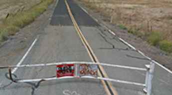
The Top 3 Most Dangerous Roads in Chicago, Illinois
What makes a road dangerous?
Many factors make a particular road dangerous: traffic congestion, excessive speed, drowsy drivers, distracted drivers, and drunk drivers. However, the greatest risk for injury or death isn't a single road. It’s intersections.
Boobe Hole Mountain
Boobe Hole Mountain is a high mountain peak at an elevation of 3.209m (10,528ft) above the sea level, located in Sevier County, in the central section of the U.S. state of Utah. It’s one of the highest mountain roads of Utah.
Chepeta Lake
Chepeta Lake is a high mountain lake at an elevation of 3.228m (10,590ft) above the sea level, located in Duchesne County, in the northeast part of the U.S. state of Utah. It’s one of the highest roads of Utah.
An awe-inspiring road to Convict Lake in California
Convict Lake is a high mountain lake at an elevation of 2.328m (7,637ft) above the sea level, located Mono County, in the east central portion of the U.S. state of California.
A defiant road to Sedgwick Peak in ID, only for experienced drivers
Sedgwick Peak is a high mountain peak at an elevation of 2.791m (9,156ft) above the sea level, located in Bannock County, in the southeastern part of the U.S. state of Idaho. It’s one of the highest roads of Idaho.
Fisher Mountain: this drive is not for timid drivers
Fisher Mountain is a high mountain peak at an elevation of 3.122m (10,242ft) above the sea level located in Park County, in Montana, USA. It's one of the highest roads of Montana.
Whale Peak, an old mine road to the summit
Whale Peak is a high mountain pass at an elevation of 3.940m (12,926ft) above the sea level, located on the boundary of Summit and Jefferson counties, in the United States. It’s one of the highest mountain roads of Colorado.
A remote steep road to Roof Butte in AZ
Roof Butte is a high mountain peak at an elevation of 2.996m (9,829ft) above the sea level, located in the Navajo Nation of Apache County, in northeast Arizona, in USA. It'sone of the highest roads of Arizona.
Roadkill hotspots in USA
Today, there are around 4,071,000 miles of roads in the United States. Many of these roads cut across rural or uninhabited areas where numerous domesticated and wild animals wander freely. As a result, many of them die due to accidental roadkill. It is estimated that, daily, over one million animals die due to car collisions.
Success Loop Scenic Drive
Success Loop Scenic Drive is a very enjoyable scenic drive nestled in the deliciously remote high elevation mountains of White Pine County, eastern Nevada, in United States.
Hacking Lake
Hacking Lake is a high mountain lake at an elevation of 3.244m (10,643ft) above the sea level, located in Uintah County, in the U.S. state of Utah. It’s one of the highest roads of Utah.
Road trip guide: Conquering Badger Pass in MT
Badger Pass is a high mountain pass at an elevation of 2.063m (6,768ft) above the sea level, located in Beaverhead County, in the U.S. state of Montana.
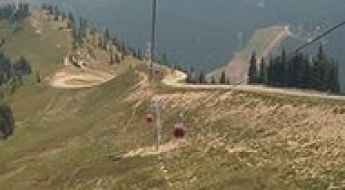
A brutally steep road to Lenawee Lift in CO
Located in Summit County, in the U.S. state of Colorado, Lenawee Lift is said to be one of the highest chairlifts in North America topping out at 3.818m (12,526ft) above the sea level. It’s one of the highest roads of Colorado.

Swamp Lake
Swamp Lake is a high mountain lake at an elevation of 2.929m (9,609ft) above the sea level, located in Fresno County, California, in USA. Damage is possible even for the most capable vehicle. Definitely not for stock SUVs. It’s one of the highest mountain roads of California.
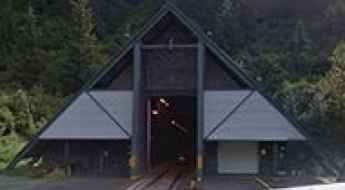
Anton Anderson Memorial Tunnel
Located in the U.S. state of Alaska, the Anton Anderson Memorial Tunnel is the longest combined vehicle-railroad tunnel in North America.
A delightful drive to Lewis Lake
Lewis Lake is a high mountain crystal clear snow-melt lake at an elevation of 3.290m (10,793ft) above the sea level, located in Albany County, in northwestern Wyoming, USA. It's one of the highest roads of Wyoming.

An old mining trail to Kuss Peak
Kuss Peak is a high mountain peak at an elevation of 4.136m (13,569ft) above the sea level, located in Lake County, in central Colorado, in the United States. It's one of the highest roads of USA.
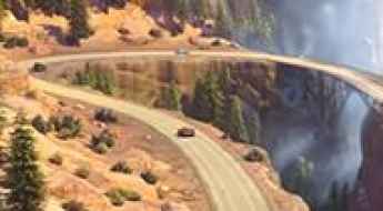
Road trip guide: Conquering the Cadillac Range Drive
Located in Radiator Springs, in Carburetor County, USA, the Cadillac Range Drive is a very scenic journey. The drive is definitely worth it. A drive not to be missed!
Mount Pennell
Mount Pennell is a high mountain peak at an elevation of 3.302m (10,833ft) above the sea level, located in Garfield County, Utah, in United States. It's one of the highest mountains roads of Utah.
Black Mesa
Black Mesa is a high mountain pass at an elevation of 3.427m (11,243ft) above the sea level located in Dolores County, in Colorado, USA.

Otto Mears, a famed Colorado road builder
Born in Estonia and raised in California, Otto Mears emerged as a pivotal entrepreneur, leaving an indelible mark on the development of Southwestern Colorado. His legacy is defined by the construction of over 450 miles of toll roads and railroads, contributing significantly to the region's accessibility, settlement, and mining.
Carter Mountain Road
Carter Mountain Road is a high mountain road located in Park County, Wyoming, in USA, climbing up to 3.445m (11,302ft) above the sea level. It’s one of the highest roads of Wyoming.
Things to Know Before Driving Arizona State Route 261
State Route 261 is a very scenic high mountain road located in Apache County, in the US state of Arizona. It’s one of the highest roads of Arizona.
A remote drive to Sheep Pass
Sheep Pass is a mountain pass at an elevation of 1.536m (5,039ft) above the sea level located in Clark County, in the U.S. state of Nevada. The road to the summit is called Alamo Road.
Canwell Glacier Trail
Canwell Glacier Trail is a very exciting&demanding journey located in Valdez-Cordova Census Area, Alaska, in United States. This fantastic mountain trail follows the lateral moraine of the Canwell Glacier.
Sunrise Park Resort
Sunrise Park Resort is a ski resort at an elevation of 2.852m (9,356ft) above the sea level, located in Apache County, in northeastern Arizona in the United States. It's one of the highest mountain roads of Arizona.
Big Windy Peak
Big Windy Peak is a high mountain peak at an elevation of 3.170m (10,400ft) above the sea level, located in Lemhi County, in eastern Idaho, USA. It’s one of the highest mountain roads of Idaho.

The defiant road to Eagle Rock in CA
Eagle Rock is a mountain peak at an elevation of 760m (2,493ft) above the sea level located in Santa Cruz County, on the Pacific coast of the U.S. state of California.
Crooked Creek Station
Crooked Creek Station is a high mountain station at an elevation of 3.090m (10,150ft) above the sea level, located in the White Mountains of Mono County, in the east central portion of the U.S. state of California. It’s one of the highest mountain roads of California.
Travel guide to the top of Crystal Mountain North
Crystal Mountain North is a high mountain peak at an elevation of 2.090m (6,856ft) above the sea level, located in Pierce County, in the U.S. state of Washington. It’s one of the highest mountain roads of Washington.
Edison Butte OHV Trail
Edison Butte OHV Trail is a very exciting trail with some awesome scenic views, located in Deschutes County, Oregon, in United States. It’s a rocky trail that involves lava ridges for extra excitement.
The Wild Road to Terrible Mountain
Terrible Mountain is a high mountain peak at an elevation of 3.662m (12,014ft) above the sea level, located in Gunnison County, in the U.S. state of Colorado. It’s one of the highest mountain roads of Colorado.
A scenic road to Juniper Lake in Lassen Volcanic NP
Juniper Lake is a picturesque mountain lake at an elevation of 2.094m (6,870ft) above the sea level, located on the boundary between Plumas and Lassen counties in the northeastern portion of the U.S. state of California.
A memorable road trip to Resolution Mountain in CO
Resolution Mountain is a high mountain peak at an elevation of 3.638m (11,935ft) above the sea level, located in Eagle County, in the U.S. state of Colorado. It’s one of the highest mountain roads of Colorado.
Dosewallips River Road in WA hasn’t seen a car for nearly 20 years
Located in Jefferson County, in the U.S. state of Washington, Dosewallips River Road is totally washed out.

Driving the historic Black Hills Scenic Byway in AZ
Black Hills Scenic Byway is a scenic unpaved road located on the boundary between Greenlee and Graham counties, in the southeastern part of the U.S. state of Arizona.
Cerro Summit
Cerro Summit is a high mountain pass at an elevation of 2.451m (8,042ft) above the sea level, located east of Montrose, Colorado, in USA.
Driving through the lonely trail to Saint Sophia Ridge
Saint Sophia Ridge is a high mountain ridge at an elevation of 3.829m (12,562ft) above the sea level, located in Ouray County, in the U.S. state of Colorado. It’s one of the highest roads of Colorado.
The breathtaking road to Big Indian Mountain in NV
Big Indian Mountain is a high mountain pass at an elevation of 2.987m (9,799ft) above the sea level, located in Mineral County, in the U.S. state of Nevada. It's one of the highest roads of Nevada.
Mesa Seco is one of the highest roads of CO
Mesa Seco is a high mountain pass at an elevation of 3.846m (12,618ft) above the sea level, located in Hinsdale County, in southwestern Colorado, USA.
Driving the road to Coyote Ridge is not a piece of cake
Coyote Ridge is a high mountain ridge at an elevation of 3.492m (11,456ft) above the sea level, located in Inyo County, in the U.S. state of California. It’s one of the highest roads of California.
A memorable road trip to Bears Ears Peak in CO
Bears Ears Peak is a high mountain peak at an elevation of 2.999m (9,839ft) above the sea level located in Routt County, in the U.S. state of Colorado.
Empire Mine Road is one of the most haunted roads of California
Located in Contra Costa County, in the U.S. state of California, the mysterious Empire Mine Road is said to be one of the most haunted roads in the area.
The road to Difficult Pass in CO is not for the inexperienced
Difficult Pass is a high mountain pass at an elevation of 3.712m (12,178ft) above the sea level, located on the boundary between Gunnison and Pitkin counties in the U.S. state of Colorado. It’s one of the highest roads of Colorado.
The Ultimate Guide to Traveling the Burcham Flat Road
Burcham Flat Road (Forest Road 31) is a very scenic alternative to US-395 through the Walker River canyon located in Mono County, in the east central portion of the U.S. state of California.
Driving the scenic Coastal Drive of California
Coastal Drive is a very scenic road located in Del Norte County, at the far northwest corner of the U.S. state of California, along the Pacific Ocean. Whales, sea lions, and pelicans may be seen from overlooks high above the crashing surf.
Tikaboo Peak
Tikaboo Peak is a high mountain peak at an elevation of 2.097m (6,879ft) above the sea level, located in Lincoln County, in the U.S. state of Nevada. The peak is widely considered the best remaining legal point from which the public may directly view the very secretive Area 51.
The road to Trico Peak in CO is not for the faint of heart
Trico Peak is a high mountain pass at an elevation of 3.849m (12,627ft) above the sea level, located in San Miguel County in the southwestern portion of the U.S. state of Colorado. It's one of the highest roads of Colorado.