Driving the scenic Panoramic Route in Puerto Rico
Ruta Panorámica Luis Muñoz Marín is a very scenic drive crossing Puerto Rico from west to east through Cordillera Central, the central mountain range. This is an adventurous road trip, ideal for confident drivers.
When was the Panoramic Route in Puerto Rico built?
Finished in 1974, it’s said to be Puerto Rico’s most famous scenic drive. It’s named after Luis Muñoz Marín (born February 18, 1898, San Juan, Puerto Rico—died April 30, 1980, San Juan), who served as governor of Puerto Rico for four years.
How long is the Panoramic Route in Puerto Rico?
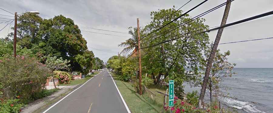
The road is totally paved. It’s 269 km (167 miles) long, running west-east from Mayagüez to the coastal town of Maunabo. The route comprises PR-105, PR-143, and PR-182 roads.
Is the Panoramic Route in Puerto Rico challenging?
This is not a drive for the faint of heart. The winding and twisting road is narrow in parts. Don't forget to blow your horn as you turn blind curves. For safe driving along Ruta Panorámica, consider avoiding the wet season which runs from August through to November. After rainstorms, there are frequent washouts. Generally, it’s safe to ride on this road in all seasons except the rainy season, as the condition of the road becomes dreadful. It features hairpin turns, variable weather conditions, and is also used by trucks, party buses, and speedy local drivers.
Is the Panoramic Route in Puerto Rico worth it?
This road traverses the island of Puerto Rico from west to east, along its Cordillera Central, and gives visitors the opportunity to witness the country’s majestic countryside from behind the wheel. Snaking its way through some of Puerto Rico's most fabulous scenery, this scenic highway cuts through some of the least explored but most rewarding parts of the island. The best way to make the most out of this drive is by planning your main stops.