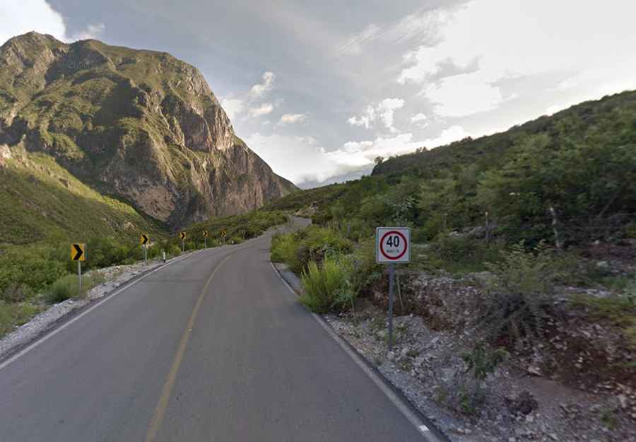
Driving the scenic Camino Rivera del Pilon
Camino Rivera del Pilón is a scenic road running along the Pilon river straddling Nuevo León and Coahuila states, in Mexico.

How long is Camino Rivera del Pilón?
The road is about 75km long and links the town of Rayones and Casillas running through the infamous access of Cerro San Rafael at 3.710 masl (Coahuila state highest point). The road was totally paved in 2018.
Is Camino Rivera del Pilón worth the drive?
The road offers great views of Pilon river (or Casillas river) turquoise waters, flora, canyon walls and huge mountains views of Sierra Madre as El Cuahuilon Mt at 3530 masl, El Tecolote Mt at 3480 masl, Minillas Peak, La Bandera Mt at 2750 masl and finally the San Rafael Mt at 3710, all seen from above at 1350 masl. A great scenic road not to be missed!
Road suggested by: Eblem Torres