The Wild Road to El Capulin
El Capulín is a high mountain town at an elevation of 3,075m (10,088ft) above sea level, located in Mexico. It’s one of the highest roads in the country.
Where is El Capulín?
The town, famous for its church, is located on the boundary between Morelos and Mexico City, in the central part of the country, within the Cumbres del Ajusco National Park.
How long is the road to El Capulín?
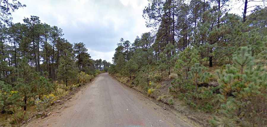
The road to the town is totally unpaved. It’s called Carretera al Capulín. Starting at the paved Xalatlaco-El Ajusco road, the drive is 11.6 km (7.20 miles) long.
How to Get to El Muñeco Volcano by Car?
Set high in the Sierra de las Cruces, the road tops out at an elevation of 3,627m (11,899ft) above sea level, near Volcán El Muñeco. The area is prone to heavy mist and can be dangerous in low-visibility conditions.