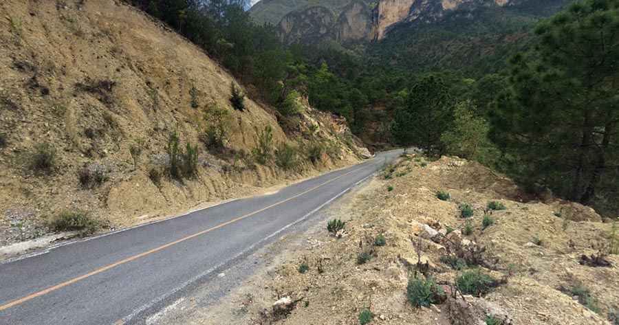
Nuevo Leon 20: a memorable road trip
Located in the Mexican state of Nuevo León, the Nuevo Leon 20 runs along the San Isidro canyon.

Located within the Cumbres de Monterrey National Park, the road is totally paved but prone to floods. It’s one of the best drives of the country, due its landscapes and scenic views. The drive can be divided in 3 sections:
San José de las Boquillas Pass
This is a small town and mountain pass that goes up to 2.200 meters above sea level. This area offers an overview of the San Isidro Canyon, which later the same road will traverse into. It’s 15.2 km long. There's a dangerous 180° hairpin turn in a steep grade inclination of 20°. This is the only dangerous curve. It’s especially dangerous if you’re driving very fast. Easily you can slide out the road.
San Isidro Canyon
San Isidro Canyon is the most spectacular section of the road. It traverses a deep canyon cutting huge mountains, which generates huge walls in both sides of 700-800 meters high! Pictures don't make justice or can fit into one image to see the monstrosity. This road traverses the canyon at an avarage of 1.450 meters above the sea level. It’s 5.2km long. This section can be dangerous in rainy season, due the river is right next to the road. It can grow up and be a threat for the traffic. Mudslides and rock falling can be a great danger.
Puerto Genovevo
This is a beautiful tropical lush mountain road, crossing the mountains with severe curves and some hairpin turns. This road is especially dangerous due the high traffic volume of tourist vehicles coming from the nearby Cola de Caballo waterfall. This road is dangerous if you don't know how to use the engine brake. Many people died in this route due to the total lack of knowledge and brake failures. The road is pretty steep. It climbs up from the 480 meters above sea level in Villa de Santiago up to 1.550 meters above sea level in the mountains. The elevation gain is more than 1.000 meters with hundreds of curves and steep grades. The section is 7.9 km long.
Road suggested by: Eblem Torres
Pic: Glenn