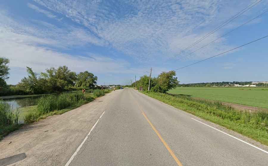
Driving Canal Road, One of the Most Dangerous Roads in Ontario
Canal Road is a notorious and tragic road located in Bradford, in Ontario, Canada. It runs adjacent to a river, directly alongside this body of water, making it especially dangerous in wintry and foggy conditions.

When Was Canal Road Built?
Located in Simcoe County, in the southern part of the country, Canal Road was built in the 1940s to serve the Holland Marsh farms. It was originally designed as a farm access route, more suitable for tractors than regular vehicles. After Hurricane Hazel devastated Southern Ontario in 1954, the road was rebuilt even closer to the water.
How Long is Canal Road in Ontario?
The road is fully paved and stretches 13.5 km (8.38 miles) from Bridge Street to ON-9. Driving at night or in poor visibility is not recommended for those unfamiliar with it. Canal Road has become a popular shortcut for commuters traveling between Highways 11 and 400.
How Dangerous is Canal Road in Ontario?
It is considered one of the worst routes in Ontario, with at least 22 fatal incidents in recent years. Between 2000 and 2005, there were 51 accidents, 14 of which resulted in cars ending up in the water or on the frozen surface. This road is particularly dangerous in the winter due to black ice, and the narrow route is lined with pot holes and a steep drop into the water. Since 1954, at least 20 people have died after their vehicles plunged into the drainage canal.
Is Canal Road in Ontario Being Improved?
Some minor safety improvements have been made, including the installation of signs, lowering the speed limit, and adding guardrails along certain sections. Digital signs displaying drivers' speeds have also been installed in two locations to encourage safer driving.
Road suggested by: Tall Guys Free